Description
Inspection Method – Specific Instrumentation
Industry Type – Manufacturing
Service Mode – Offline
Site Location – All Over India
Usage/Application – Industrial
Inspection Interval – One Time Requirement
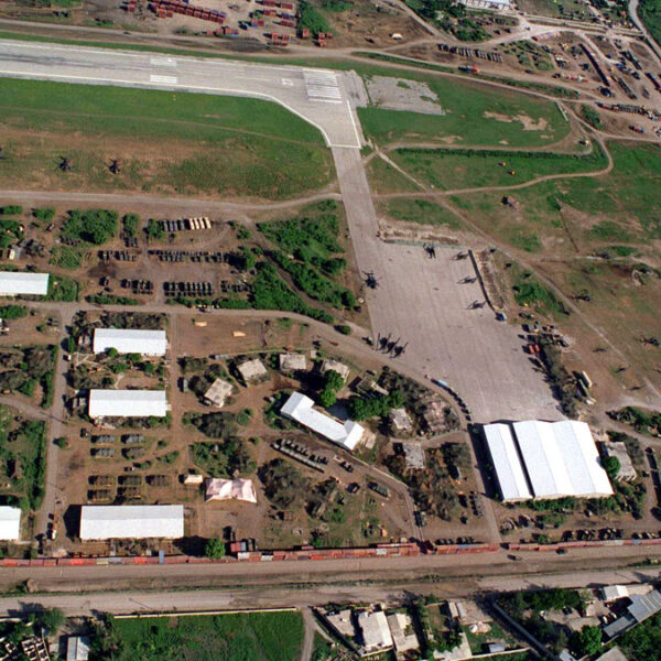
Surveying India provides Drone/Unmanned Aerial Vehicle (UAV) services to both industry and government, covering a wide and varied range of tasks such as UAV inspection and survey, crisis management, radio tower, telecommunications links, industrial building, quarry, wind turbine, chimney, manufacturing works, bridge, rock face or other piece of infrastructure, and also deploy rapid reaction response teams to deal with emergencies and capable to reach places that are difficult, expensive, dangerous, live or even impossible to approach by manned inspection teams.
Inspection Method – Specific Instrumentation
Industry Type – Manufacturing
Service Mode – Offline
Site Location – All Over India
Usage/Application – Industrial
Inspection Interval – One Time Requirement
| Settings | Aerial Inspection Service remove | Railways and Roadways Planning and Progression Monitoring remove | Solar PV Planning Inspection remove | Rail Line Inspection Drone Service remove | National highways surveillance service remove | Pipeline Inspection Drone Service remove |
|---|---|---|---|---|---|---|
| Image |  |  |  |  |  |  |
| SKU | ||||||
| Rating | ||||||
| Price | ₹600.00 | |||||
| Stock | ||||||
| Availability | ||||||
| Add to cart | ||||||
| Description | Surveying India provides Drone/Unmanned Aerial Vehicle (UAV) services to both industry and government, covering a wide and varied range of tasks such as UAV inspection and survey, crisis management, radio tower, telecommunications links, industrial building, quarry, wind turbine, chimney, manufacturing works, bridge, rock face or other piece of infrastructure, and also deploy rapid reaction response teams to deal with emergencies and capable to reach places that are difficult, expensive, dangerous, live or even impossible to approach by manned inspection teams. |
|
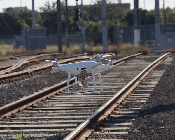
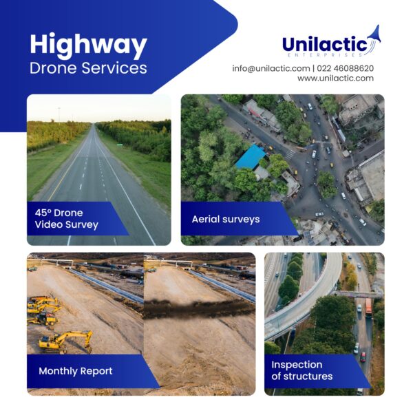
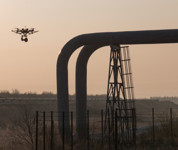
| We offers a state-of-the-art drone answer for the railway business. We collaborated with various railroad organisations on project planning. | use of drones for monthly video recording of all national highway projects during their different stages of development, construction, operation and maintenance | The oil and gas industry is an area that effectively includes the regulation of oil mines and wells on and off land, great normal assets, and particular freedoms. |
| Content | Inspection Method - Specific Instrumentation Industry Type - Manufacturing Service Mode - Offline Site Location - All Over India Usage/Application - Industrial Inspection Interval - One Time Requirement | Inspection Method - Visual Service Type - Rail Line Inspection Issue To Be Inspected - Railway Track and Electric Pole Scanner Type - With Drone Videography Including Thermal Drones Mode Of Report - Soft Copy Service Location - PAN India Service Mode - Offline | Use of Drones for monthly video recording of all national highway projects during their different stages of development, construction, operation and maintenance | Testing Type - Thermal Footage Mode Of Report - Soft Copy Service Type - Pipeline Inspection Service Location - PAN India Service Mode - Offline | ||
| Weight | ||||||
| Dimensions | N/A | N/A | N/A | N/A | N/A | N/A |
| Additional information |