| Description |
- PROJECT CONSTRUCTION MONITORING
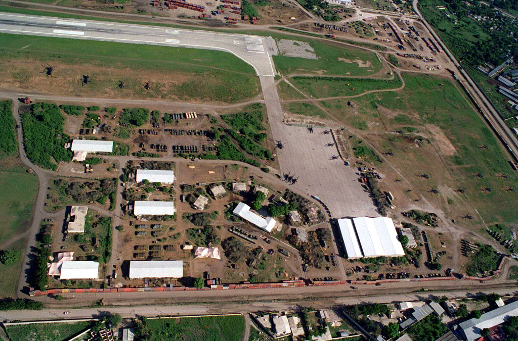
- RAILWAY ASSET MAPPING
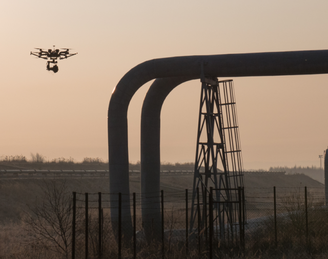
- BRIDGE INSPECTION
- NH MONITORING
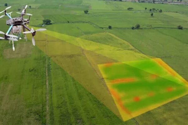
| We strives to provide visible Aerial Drone Surveying/Mapping administrations all through India. With precise knowledge of the relevant field, we are instrumental in offering a comprehensive range of Aerial Mapping Service. We work for DJI Aerial Mapping Service as per the clients need. Also, offered services are famous for high flexibility, and quality assured. |
- Raw thermal images of the entire plant with radiometric data.
- Actual temperature details of all hotspots.
- High-resolution orthomosaic.
- fast, accurate and reliable data.
| 3D Mining Drone Mapping Service. |
- ENCROACHMENT ANALYSIS
- ANNOTATED & GEOTAGGED
- FAULT IMAGES REPORT
- VISUAL DATA ANALYSIS
- THERMAL IMAGERY FOR RAPID FAULT ANALYSIS
| Our high-tech drones are equipped with cutting-edge sensors, providing real-time data that enables construction professionals to make better decisions. Our services include aerial surveys, mapping, inspection, and progress monitoring. By leveraging our expertise, construction companies can reduce costs, improve efficiency, and enhance safety on the job site.
Let Drogo Drones take your construction project to new heights.
Contact us to and avail a Free consultation NOW!
Stay connected with us
https://linktr.ee/drogodrones
|
| Content | | Services Include - 3D and 2D Mapping
Usage/Application - AutoCAD
Type Of Services - Visual
Surveying Method - By Drone
Service Type - Aerial Drone Mapping Survey
Service Location - PAN India
Service Mode - Offline | | Usage/Application - AutoCAD and Global Mapper
Surveying Method - By Drone
Service Location - PAN India
Service Mode - Offline | | |