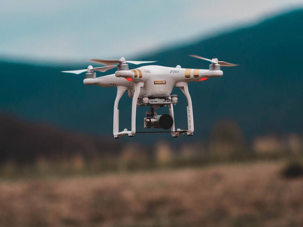
Geographic Information Systems (GIS) use satellite imagery as a tool to gather visual data. For certain projects and infrastructure builds, this data is used to foster insightful conclusions that are helpful. There are several applications for this, even if GPS is the most prevalent one. The potential for using satellite imagery in complicated and sophisticated infrastructure projects is growing as it becomes more developed.
Managing high-value and critical infrastructure, reducing costs of asset operations, and ensuring regulatory and safety compliance may require asset-intensive industries to adopt several software solutions for the storage and processing of big data coming from multiple sources. Enhancing these management tools, satellite data, in conjunction with the power of cloud infrastructure, provides an unprecedented opportunity to increase the strength of different applications.
APPENDIX
In “Index drone” under “satellite services,” we combine orthorectified satellite imagery with extracted vector data and client-provided geospatial data to create single, GIS data-rich maps for a variety of industry applications, including agriculture, disaster management, energy, and environmental monitoring. For many different forms of analysis and management relevant to the associated project, we incorporate GIS data to produce a multi-layered outcome. Our GIS mapping services’ knowledge and precision virtually eliminate any potential issues with GIS maps.
In addition to ongoing geodesy, mapping, and ArcGIS 2D geospatial support services for our clients, our team is dedicated to quality control. We make sure that our clients only use the geospatial data sets in the most efficient way possible. We employ constant data quality control on every GIS project, no matter how big or little, to make sure that coordinate databases, data from external sources like geological and topographic maps, GIS data attributes, and layers produce a fully seamless GIS mapping environment.
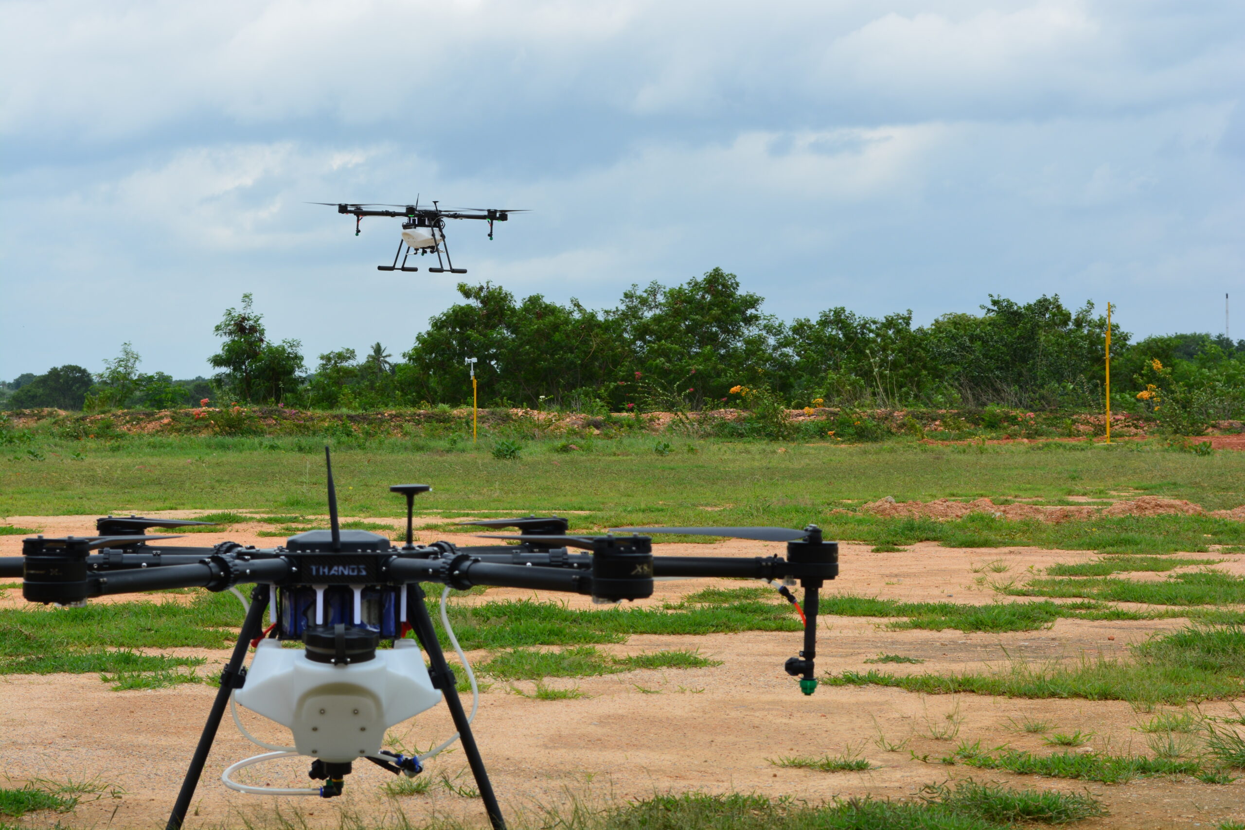
In order to monitor several applications, such as image fusion, change detection, and land cover classification, remote sensing data is a vital and significant source of information. The technique of remote sensing is crucial for gathering knowledge about the ecology and resource base of the earth.