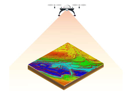
Mining processes are highly labour intensive and require huge investments to ensure the safety of workers and prevent pilferage from stockpiles. Drone data provides more precise volumetric measurements than traditional surveying methods, such as ground-based GNSS. This allows better valuation of stockpiles.
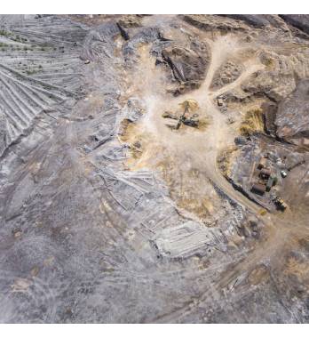
In mining, drones have several applications like mine surveying, asset inspection, inventory management, terrain mapping, stockpile estimation and security and surveillance etc. Mine surveying can be done using drones to provide detailed information about the sites before starting with mining projects and document their progress to visualise changes in site overtime.
Drones can access highly-toxic hard-to-reach areas for providing better insights for mine planning. In coal mines, drones can be used to detect hot spots in coal stockpiles to assess potential spontaneous combustion areas and enable personnel to take preemptive measures. Drones can further aid in watershed management, blast planning, haul-route surface optimization, and emergency response.