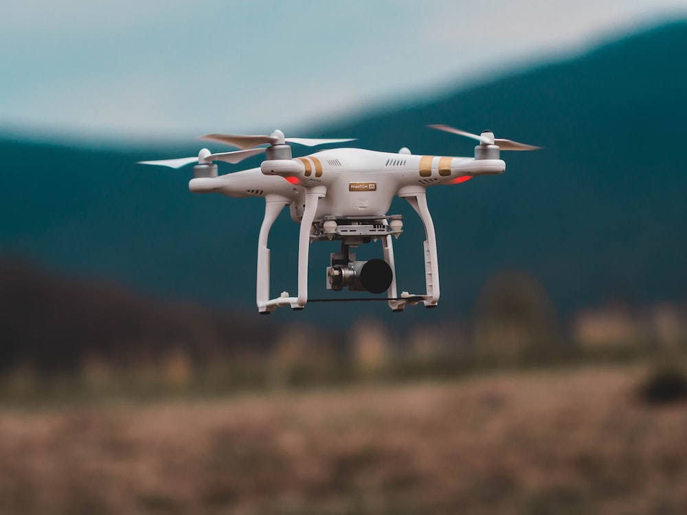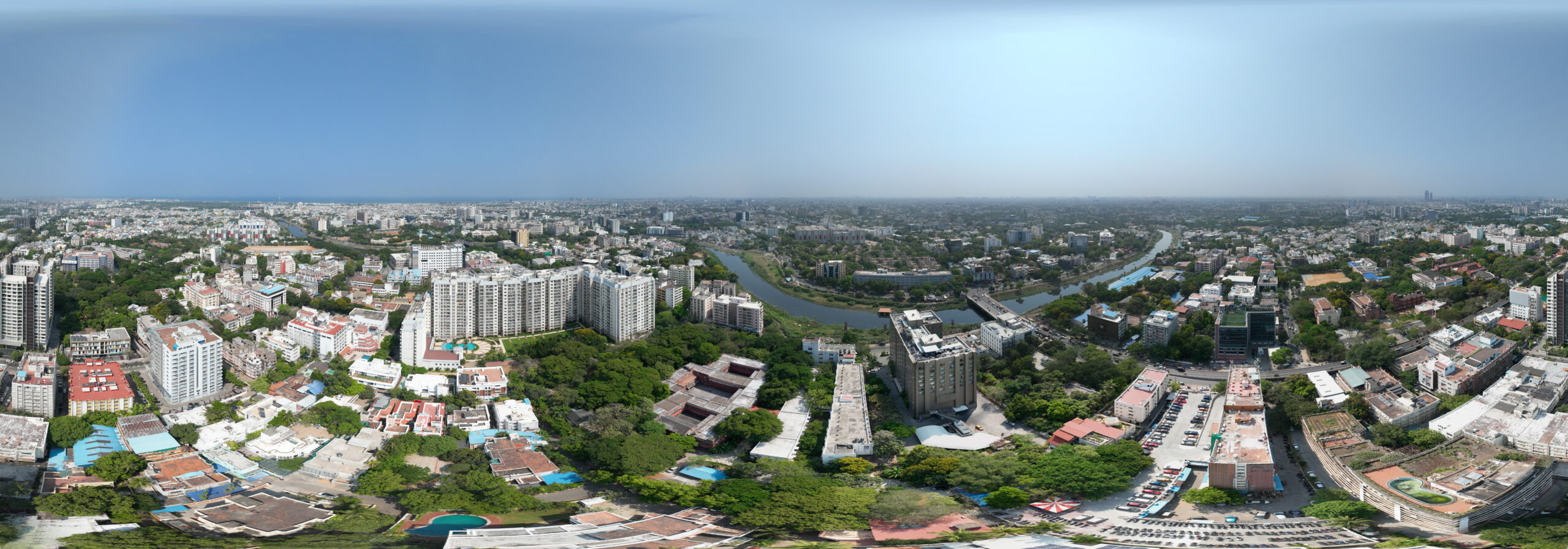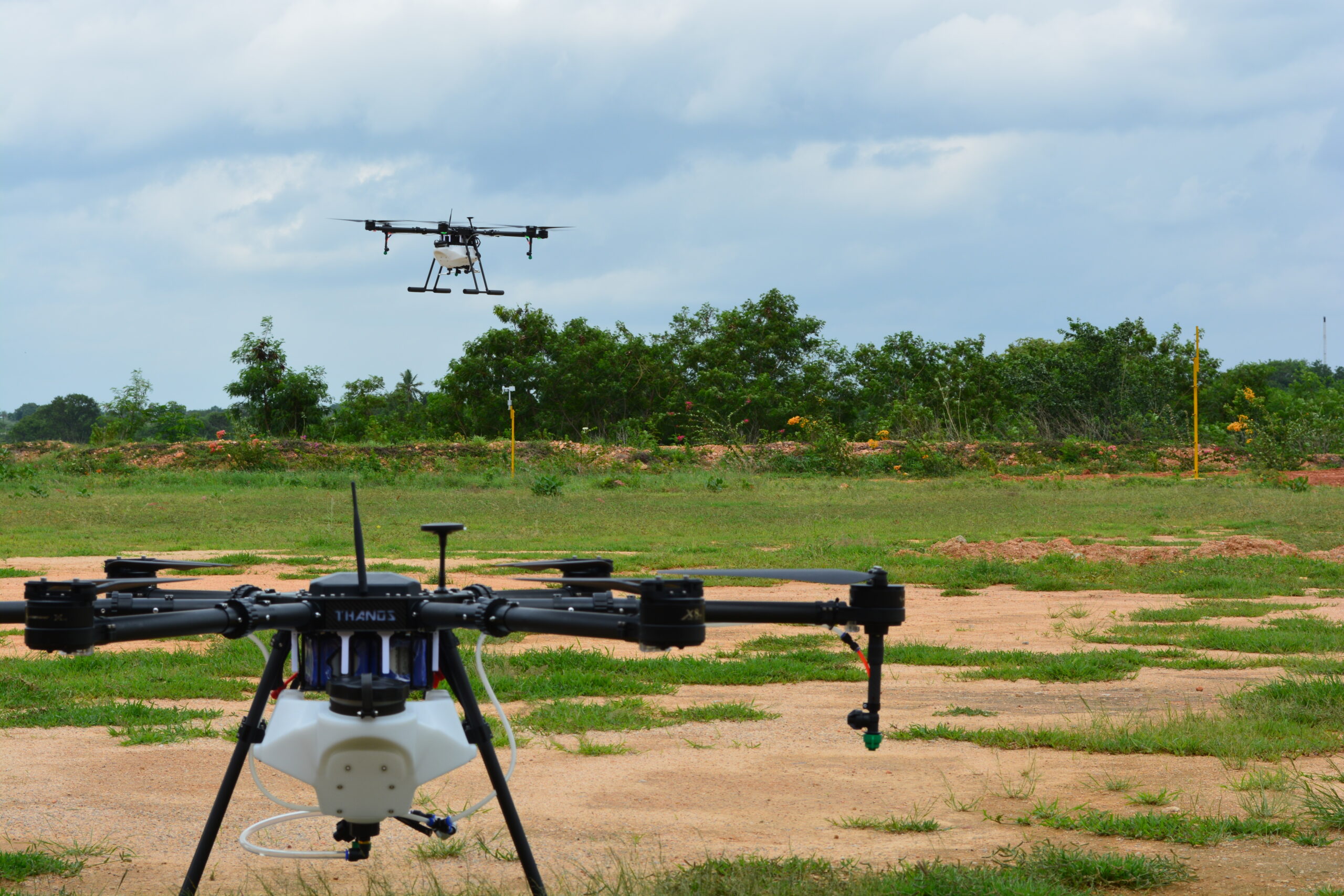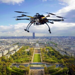
Drones or Unmanned Aerial Vehicles as the name suggests are nowadays used widely for aerial photography and videography. Drone Photography and Videography is a widespread technique used for events like wedding shoots, parties, real estate advertisements, tourism promotion, film making and many more.
Wedding: With the help of drones, photographers are now able to easily capture shots which are otherwise impossible to shoot. The aerial videography creates extremely dramatic videos and makes the wedding look grand.
Real Estate: Drones are doing great in the real estate industry. Analysing the data of the previous years, it has been found that properties with aerial imagery have been sold 68% faster than the others.
Film Making: Drones have become a vital part of the television industry. With drones it is much easier to capture cinematic and aesthetic shots. Drones being cheaper than the aircrafts which were previously used for aerial shots.
Some of the best drones used for photography purposes are stated below:
DJI MAVIC AIR 2 : This is one of the best drones used for aerial photography. It has a 4K camera resolution with 34 minutes battery life. Mavic Air 2 has an excellent sensor which by sensing can avoid obstacles approaching from front, back or below. It also can keep itself steady in moderate wind.
DJI MAVIC 3 : This has almost all the features of Mavic Air 2 with 2½ times less the price. It has the best camera available on a Mavic Drone, with 20 mp camera and 5.1K video resolution. It has 46 minutes of battery life.
DJI MINI 2 : This is best suited for personal and not so professional work. It is cheaper than the other two mentioned dones, and still has a 4K resolution camera. This model is as light as 249 grams and can fold up to be just a handful.
