Satellite Map Live Service Provider in India
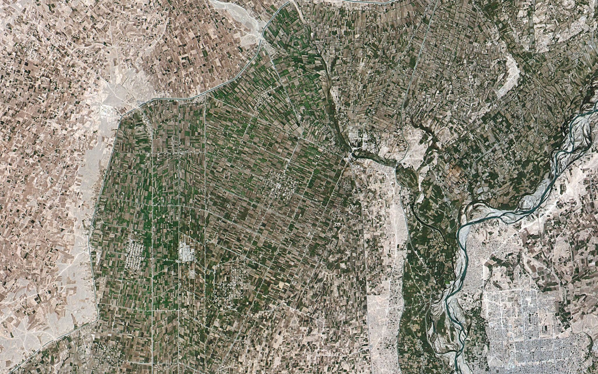
Drone satellite imagery combines the capabilities of drones and satellite technology to provide a powerful and versatile solution for data collection and analysis. By leveraging the advantages of both platforms, this innovative approach offers unprecedented levels of detail, accuracy, and efficiency in various industries and applications. The demand for satellite map live online India is rising and with the satellite service provider in India, it is possible to get mapping, monitoring, and environmental assessments.
For the highest resolution satellite imagery India, try the solutions from Index Drone. They offer high-resolution imagery and agile data collection capabilities but are constrained by limited coverage and flight time. By integrating these two technologies, drone satellite imagery overcomes these limitations, providing a comprehensive and dynamic solution. One of the key benefits of drone satellite imagery is to capturee the live maps satellite online India.
Drones equipped with high-resolution cameras and sensors can capture imagery at a granular level, enabling precise mapping, asset inspection, and infrastructure monitoring. These images are complemented by the broader coverage and frequent revisits of satellite imagery, ensuring a comprehensive and timely dataset for analysis.
The applications of drone satellite imagery span various sectors and captures satellite camera live online map India.