Description
Usage/Application – AutoCAD and Global Mapper
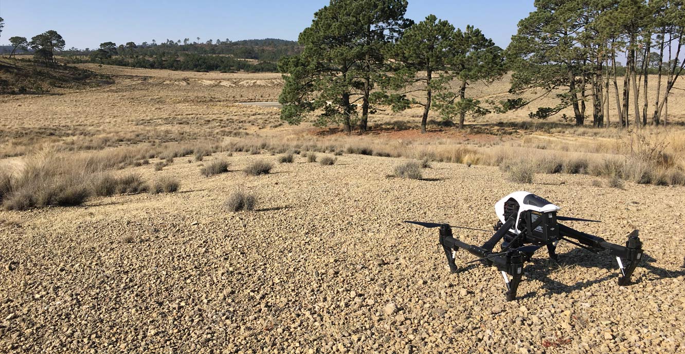
Surveying Method – By Drone
Service Location – PAN India
Service Mode – Offline

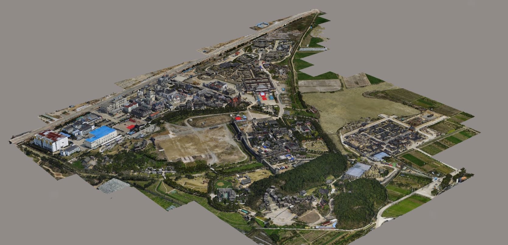
3D Mining Drone Mapping Service.


Usage/Application – AutoCAD and Global Mapper
Surveying Method – By Drone
Service Location – PAN India
Service Mode – Offline
| Settings | 3D Mining Drone Mapping Service remove | Drone Mine Topographic Survey Services remove | DGPS Survey Services remove | Survey Mapping Drone Service remove | Bridge Survey Service remove | Drone UAV Survey remove |
|---|---|---|---|---|---|---|
| Image |  |  | 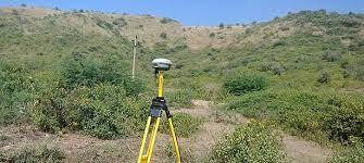 | 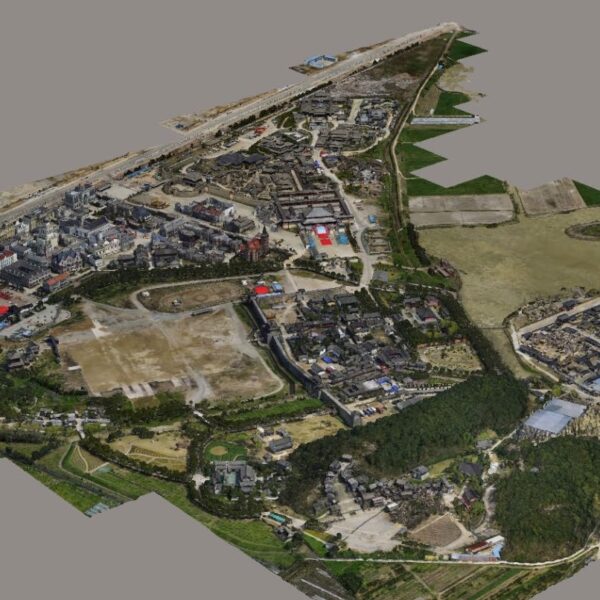 | 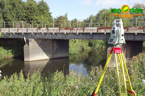 |  |
| SKU | ||||||
| Rating | ||||||
| Price | ||||||
| Stock | ||||||
| Availability | ||||||
| Add to cart | ||||||
| Description | 3D Mining Drone Mapping Service. | We at Pixroot Technologies Private Limited specialized in providing high-quality Drone Survey Services. We are Kolkata's one of the best Drone Survey Company & India's one of the fastest growing "Drone Survey" companies providing high accuracy using the latest technology. We've consistently been recognized for our on-time results delivery and quality services. In mining we are executing the work as per new rules of IBM/MCDR updated new rule guidelines. | Supported by highly accomplished crew of employees, we are rendering DGPS Survey Service. These provided services are delivered under the stern supervision of adroit personnel as per set industry principles. In addition to this, these provided services are attributed amid our client for reliability and cost effectiveness. | Our organization is offering an assorted range of UAV Survey. We are working dedicatedly to catering to the requirement of the client. Apart from this, our professionals make honest efforts to provide this survey service within the assured set of time. | ||
| Content | Usage/Application - AutoCAD and Global Mapper Surveying Method - By Drone Service Location - PAN India Service Mode - Offline | Survey Type - 2D and 3D Mapping Usage/Application - AutoCAD and Global Mapper Surveying Location - Mines Service Mode - Offline Measurement Type - Acre Surveying Method - By Drone Service Type - Drone Mine Survey Service Location - PAN India | Site Location - PAN India Mode Of Report - Excel Service Type - DGPS Survey Service Mode - Offline | Service Type - Survey Mapping Service Location - PAN India Service Mode - Offline | ||
| Weight | ||||||
| Dimensions | N/A | N/A | N/A | N/A | N/A | N/A |
| Additional information |