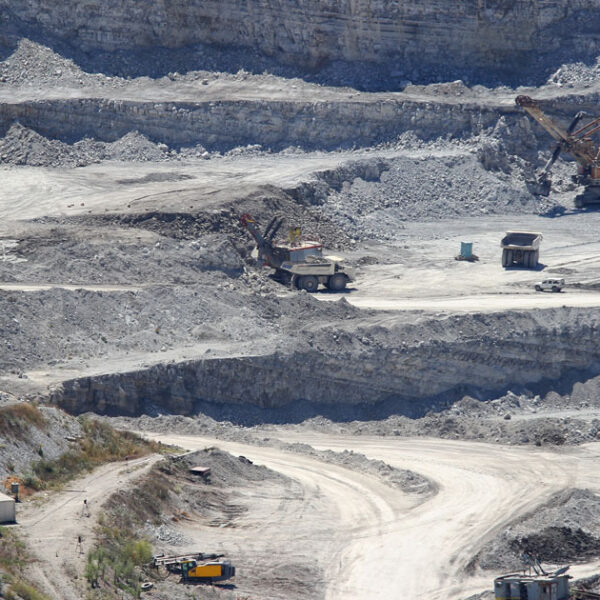
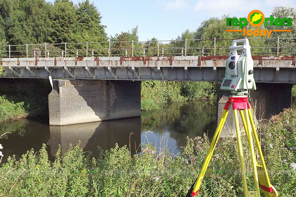
| Description | We at Pixroot Technologies Private Limited specialized in providing high-quality Drone Survey Services. We are Kolkata's one of the best Drone Survey Company & India's one of the fastest growing "Drone Survey" companies providing high accuracy using the latest technology. We've consistently been recognized for our on-time results delivery and quality services. In mining we are executing the work as per new rules of IBM/MCDR updated new rule guidelines. | | 3D Mining Drone Mapping Service. | In India, the National Highways Development Project is being carried out to upgrade, rehabilitate and widen major highways to a higher standard. "National Highways" account for only about 2% of the total length of roads, but carry about 40% of the total traffic across the length and breadth of the country. These projects are managed by the National Highways Authority of India (NHAI) under the Ministry of Road, Transport and Highways. We also provide NHAI Road Survey | Backed by our skilled professionals, we are involved in providing Volumetric Survey Service. | |
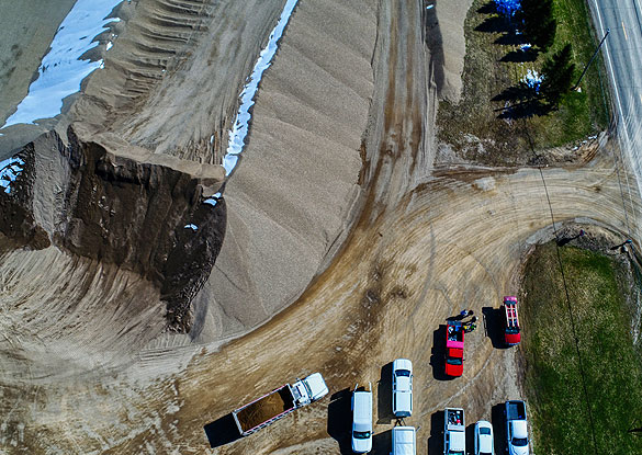
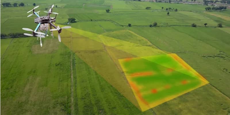
| Content | Survey Type - 2D and 3D Mapping
Usage/Application - AutoCAD and Global Mapper
Surveying Location - Mines
Service Mode - Offline
Measurement Type - Acre
Surveying Method - By Drone
Service Type - Drone Mine Survey
Service Location - PAN India | | Usage/Application - AutoCAD and Global Mapper
Surveying Method - By Drone
Service Location - PAN India
Service Mode - Offline | Site Location - Pan India
Surveying Location - Pan Location
Service Mode - Offline
Mode Of Report - Hard copy
Scope Of Survey - All existing features | Service Type - Mines Volumetric Drone Survey
Service Location - PAN India
Service Mode - Offline | Usage/Application - Volume of the commodity
Mode Of Report - Hard Copy |