| Description |
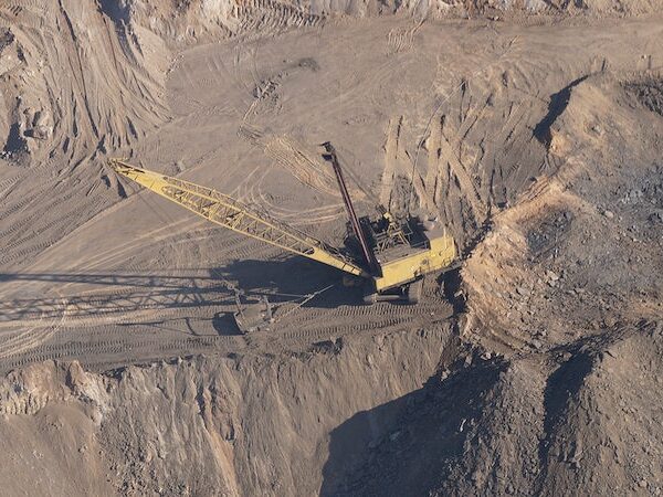
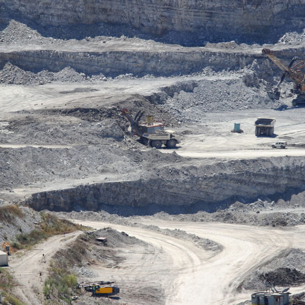
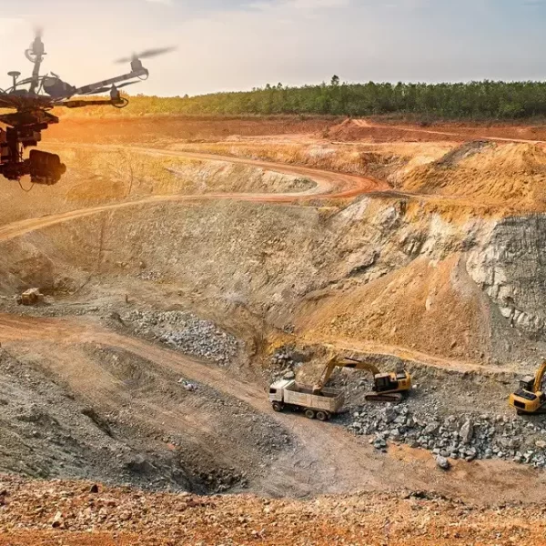
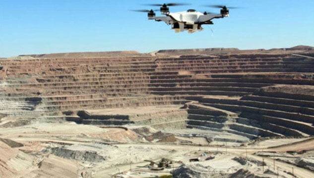
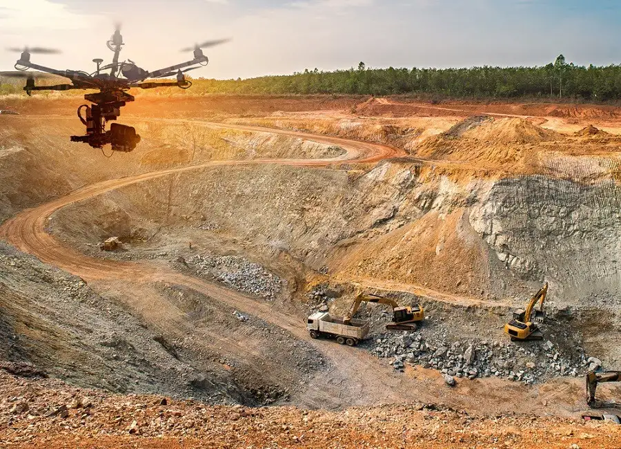
- AERIAL MINE MONITORING
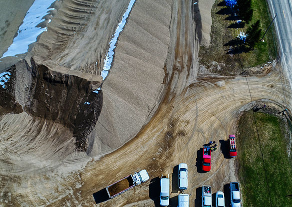
- STOCKPILE VOLUMETRIC ANALYSIS
- SAVE COST, TIME AND RESOURCES
- COMPLETELY REMOTE AND DOESN'T REQUIRE ANY GROUND CREW
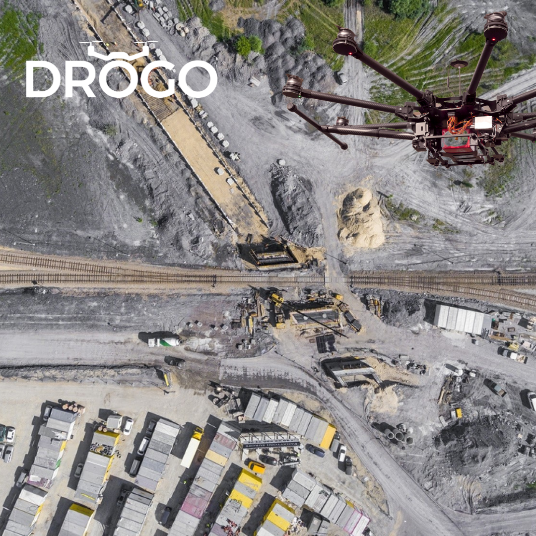
| We at Pixroot Technologies Private Limited specialized in providing high-quality Drone Survey Services. We are Kolkata's one of the best Drone Survey Company & India's one of the fastest growing "Drone Survey" companies providing high accuracy using the latest technology. We've consistently been recognized for our on-time results delivery and quality services. In mining we are executing the work as per new rules of IBM/MCDR updated new rule guidelines. | We are offering Mining Surveying Service. Our experts finish these services by employing the advanced techniques. We render this service in numerous forms as per the requirements and demands of the customers. With the help of skillful experts, we render this service as per the necessities of our patrons in an effective way. | Drone surveys as per Indian Bureau of Mines (IBM) regulation 34(A) of MCDR (2017) that requires all mines with an annual excavation plan of one million tonnes or more in a particular year; or leased area of fifty hectare or more, to conduct a drone survey. | Our AI enabled Drones can quickly and accurately cover large areas of land, making them ideal for mapping and surveying. By analyzing Drogo's survey reports, mining companies can plan their operations more efficiently, reducing costs and increasing productivity. This technology enables businesses to survey previously inaccessible areas, providing valuable information for decision-making.
Contact us to and avail a Free consultation NOW!
Stay connected with us
https://linktr.ee/drogodrones | 3D Mining Drone Mapping Service. |
| Content | | Survey Type - 2D and 3D Mapping
Usage/Application - AutoCAD and Global Mapper
Surveying Location - Mines
Service Mode - Offline
Measurement Type - Acre
Surveying Method - By Drone
Service Type - Drone Mine Survey
Service Location - PAN India | Site Location - Any
Service Duration - 1-12 Months
Area / Size - Any
Start Date / Month - As per client
Service Location - All Over India | Pixel Vision has successfully conducted IBM-compliant surveys for a number of large, publicly listed miners across the country. It is also the only technology company to be a member of FIMI (Federation of Indian Mineral Industries). | | Usage/Application - AutoCAD and Global Mapper
Surveying Method - By Drone
Service Location - PAN India
Service Mode - Offline |