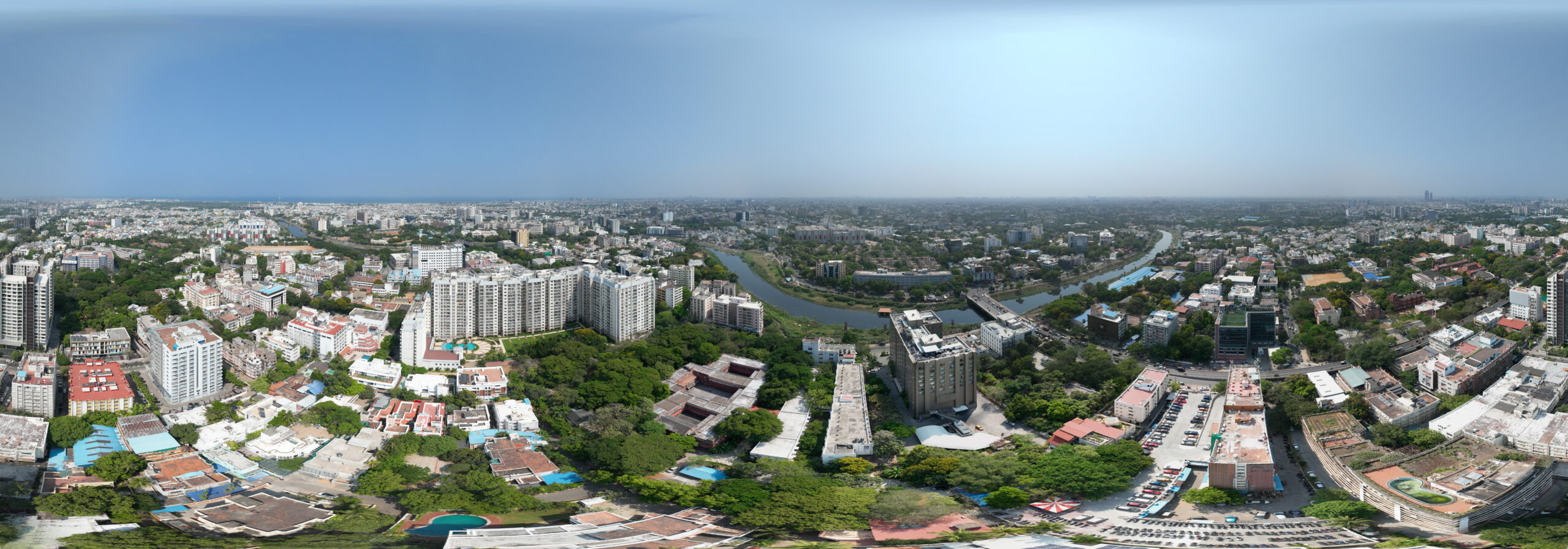
Availability: In Stock
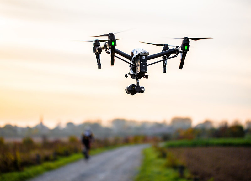
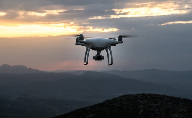
Drone Videography Service
We provides Drone/Unmanned Aerial Vehicle (UAV) services to both industry and government, covering a wide and varied range of tasks such as UAV inspection and survey, crisis management, radio tower, telecommunications links, industrial building, quarry, wind turbine, chimney, manufacturing works, bridge, rock face or other piece of infrastructure, and also deploy rapid reaction response teams to deal with emergencies and capable to reach places that are difficult, expensive, dangerous, ‘live’ or even impossible to approach by manned inspection teams.
SURVEYING INDIA
Quick Comparison
| Settings | Drone Videography Service remove | *Commercial Videography for Marketing and Advertisements remove | Drone Photography Service remove | Aerial Photography and Videography(Corporate) remove | Drone Pre Wedding Videography Service remove | Aerial Videography remove |
|---|---|---|---|---|---|---|
| Image |  |  | 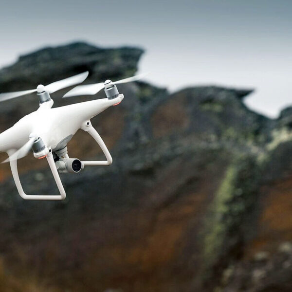 |  |  |  |
| SKU | ||||||
| Rating | ||||||
| Price | ||||||
| Stock | ||||||
| Availability | ||||||
| Add to cart | ||||||
| Description | We provides Drone/Unmanned Aerial Vehicle (UAV) services to both industry and government, covering a wide and varied range of tasks such as UAV inspection and survey, crisis management, radio tower, telecommunications links, industrial building, quarry, wind turbine, chimney, manufacturing works, bridge, rock face or other piece of infrastructure, and also deploy rapid reaction response teams to deal with emergencies and capable to reach places that are difficult, expensive, dangerous, ‘live’ or even impossible to approach by manned inspection teams. | At Drogo, we can capture stunning aerial footage of construction sites, with landmark highlighting, 3D direction marking, voice-overs and much more features that can be used for marketing and advertising purposes. This can help construction companies showcase their work to potential clients and investors and can help them stand out in a competitive market. Contact us to and avail a Free consultation NOW! Stay connected with us https://linktr.ee/drogodrones | Capture stunning aerial images and videos for various purposes such as real estate listings, events, marketing, and more | Surveying India specializes in Aerial Videography .Contour lines are generated by connecting all the points of similar elevation together. These lines are drawn on a plan of a particular terrain to understand the nature of surface, identify cut fill volume, study water flow characteristics, estimate valley depth and steepness. Contour lines form a smooth curve of same elevation points. Contour lines are also called as isohypse, isoline, isopleth, or isarithm. | ||
| Content | High-resolution images, cinematic quality, unique perspectives, and data collection capabilities. Top Client: Hyundai | |||||
| Weight | ||||||
| Dimensions | N/A | N/A | N/A | N/A | N/A | N/A |
| Additional information |
