Description
Event Location – Pan India
Service Location – Road & Highway or Railway India
Service Mode – On site
Service Type – Drone Videography Survey

Aerial video is an emerging form of data acquisition for scene understanding and object tracking. The video is captured by low flying aerial platforms that integrate Global Positioning Systems (GPS) and automated image processing to improve the accuracy and cost-effectiveness of data collection and reduction. Recorders can incorporate in-flight voice records from the cockpit intercom system. The addition of audio narration is an extremely valuable tool for documentation and communication. GPS data is incorporated with a text-captioning device on each video frame. Helicopter platforms enable “low and slow” flights, acquiring a continuous visual record without motion blur.
Innovations in remote sensing cameras have allowed the identification of objects that could not have been previously identified. Pipeline and power corridors and their infrastructure can be documented with digital media recording. Video Mapping System is an example of how this technology is used today.


Event Location – Pan India
Service Location – Road & Highway or Railway India
Service Mode – On site
Service Type – Drone Videography Survey
| Settings | Drone Videography Survey remove | Drone Video Surveying Services remove | Drone Cinematography remove | aerial photography & videography remove | Videography & Photography Drone Service remove | Aerial Photography Service remove |
|---|---|---|---|---|---|---|
| Image |  | 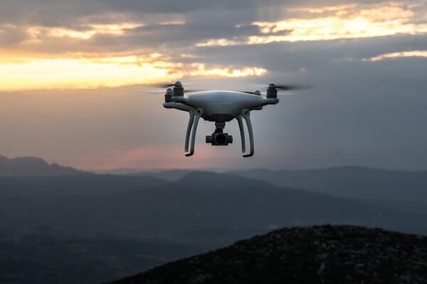 | 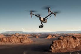 | 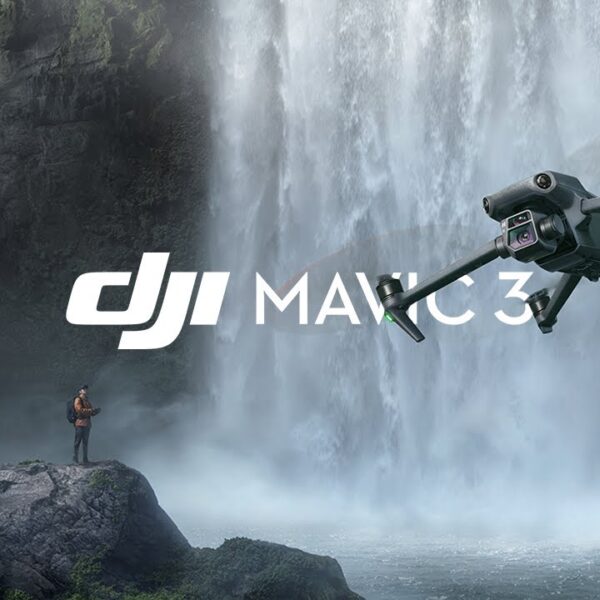 |  | 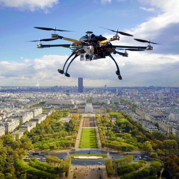 |
| SKU | ||||||
| Rating | ||||||
| Price | ₹3,500.00 | ₹12,000.00 | ₹500.00 | |||
| Stock | ||||||
| Availability | ||||||
| Add to cart | ||||||
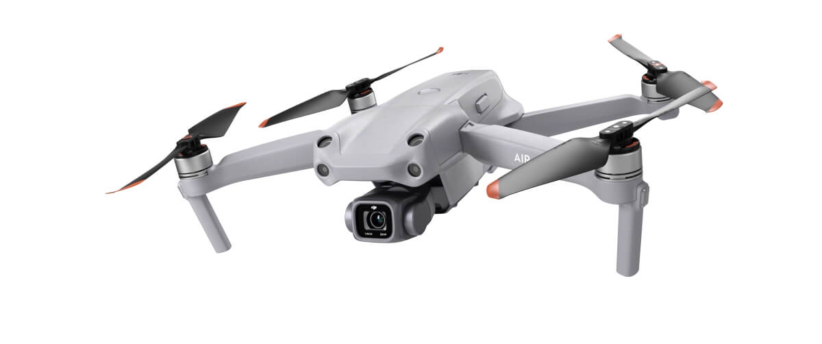
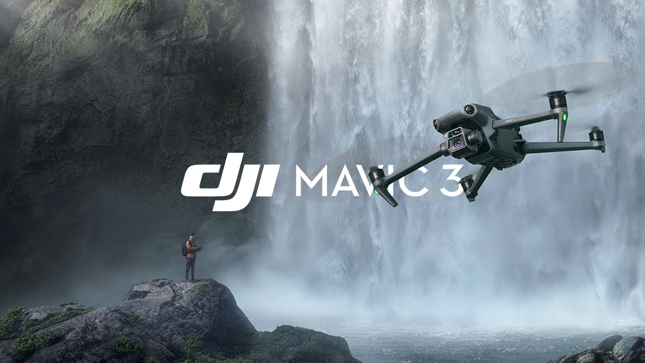
| Description | Aerial video is an emerging form of data acquisition for scene understanding and object tracking. The video is captured by low flying aerial platforms that integrate Global Positioning Systems (GPS) and automated image processing to improve the accuracy and cost-effectiveness of data collection and reduction. Recorders can incorporate in-flight voice records from the cockpit intercom system. The addition of audio narration is an extremely valuable tool for documentation and communication. GPS data is incorporated with a text-captioning device on each video frame. Helicopter platforms enable "low and slow" flights, acquiring a continuous visual record without motion blur. Innovations in remote sensing cameras have allowed the identification of objects that could not have been previously identified. Pipeline and power corridors and their infrastructure can be documented with digital media recording. Video Mapping System is an example of how this technology is used today. | Drone Video Surveying Services. | Elevate Your Vision with Dronimagination's Cinematic Drone Services! At Dronimagination Pvt Ltd, we are passionate about transforming ordinary moments into extraordinary cinematic experiences. Our drone services are designed to take your film, video, or photography projects to new heights, quite literally! With a fleet of professional-grade drones and a team of skilled pilots and cinematographers, we offer a world of creative possibilities for your next production. Key Benefits: Aerial Perspectives: Capture breathtaking aerial shots and stunning panoramic views that were once unimaginable. Our drones provide a unique vantage point that adds depth and drama to your storytelling. Smooth and Stable Footage: Our drones are equipped with advanced stabilization technology, ensuring that your footage is silky smooth, even in challenging weather conditions. Flexibility: Our drones can adapt to a wide range of filming scenarios, from dynamic action sequences to serene landscape shots. We work closely with you to capture your vision with precision. Efficiency: Eliminate the need for expensive cranes, helicopters, and large camera crews. Our drones offer a cost-effective and efficient solution to capture aerial footage. Innovation: Stay ahead of the curve with cutting-edge equipment and techniques in aerial cinematography. We are dedicated to embracing the latest advancements in the field. Safety: Our team prioritizes safety above all else. We operate within legal regulations, ensuring a secure and responsible approach to aerial cinematography. Applications: Feature Films: Add grandeur and drama to your cinematic masterpiece with sweeping aerial shots and dynamic sequences. Commercials: Create visually stunning and memorable ads that leave a lasting impact on your audience. Documentaries: Enhance your storytelling by showcasing the world from a unique perspective, whether it's wildlife, geography, or historical landmarks. Events: Capture the magic of weddings, concerts, and festivals with cinematic flair. Real Estate: Showcase properties from a stunning aerial viewpoint to attract potential buyers or renters. Tourism: Promote tourist destinations and attractions with captivating aerial visuals. Music Videos: Add an extra layer of creativity to music videos with innovative aerial shots and effects. Dronimagination's cinematic drone services empower you to capture the world like never before, turning your creative vision into a reality. Whether you're a filmmaker, videographer, or photographer, we're here to provide you with the tools and expertise to create compelling, awe-inspiring content. Contact to learn more about how our drone cinematography services can elevate your projects and help you achieve cinematic excellence. | Professional Video Specifications 5.1K Video Recording[1] DCI 4K/120fps[1] Supports Apple ProRes[2] 10-bit D-Log HLG Night Shots Video Mavic 3 not only records aerial videos at high resolutions and framerates, it also captures up to 1 billion colors with a 10-bit D-Log color profile. This delivers more natural gradations of sky coloring with more details retained for greater flexibility in post-production. | Price: 500/acre It involves using remote-control aircraft to take video with the use of a combination of a camera on the end of a fixed-wing machine and remote control that allows it to hover above the scene. This type of videography and photography has exciting implications for many industries and business ventures. | Surveying India specializes in Providing Aerial Photography Service For capturing aerial imagery at various heights using unmanned aerial aircrafts, also known as Drone, UAV or UAS, equipped with high-resolution cameras and multi-axial gimbal. This technology enables us to operate in a fast, flexible and cost saving manner. Since we fly below cloud cover we can operate on many more days compared to manned aerial photography missions. Flying at low altitudes yields unique and ultra-sharp images in which every detail is visible. |
| Content | Event Location - Pan India Service Location - Road & Highway or Railway India Service Mode - On site Service Type - Drone Videography Survey | Type Of Videos - FHD and 4K Service Type - Drone Video Service Location - PAN India Service Mode - Offline | Drone photography is the capture of still images and video by a remotely-operated or autonomous unmanned aerial vehicle (UAV), also known as an unmanned aircraft system (UAS) or, more commonly, as a drone | Event Location - Pan India Date - Any Duration - Any Service Location - All Over India Service Duration - 1-12 Months | ||
| Weight | ||||||
| Dimensions | N/A | N/A | N/A | N/A | N/A | N/A |
| Additional information |