Description
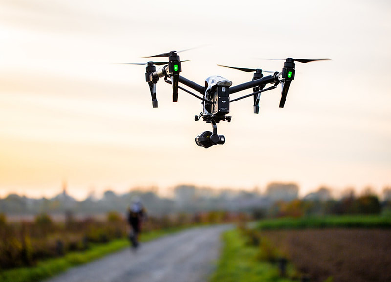
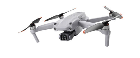
Drone photography is the capture of still images and video by a remotely-operated or autonomous unmanned aerial vehicle (UAV), also known as an unmanned aircraft system (UAS) or, more commonly, as a drone

₹500.00
Price: 500/acre
It involves using remote-control aircraft to take video with the use of a combination of a camera on the end of a fixed-wing machine and remote control that allows it to hover above the scene.
This type of videography and photography has exciting implications for many industries and business ventures.


Drone photography is the capture of still images and video by a remotely-operated or autonomous unmanned aerial vehicle (UAV), also known as an unmanned aircraft system (UAS) or, more commonly, as a drone
| Settings | Videography & Photography Drone Service remove | Aerial Photography Service remove | Aerial Videography remove | Drone Videography Survey remove | Drone Pre Wedding Videography Service remove | Drone Video Surveying Services remove |
|---|---|---|---|---|---|---|
| Image |  | 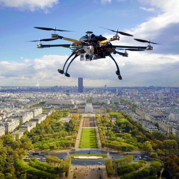 |  |  |  | 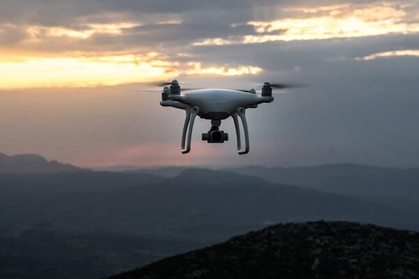 |
| SKU | ||||||
| Rating | ||||||
| Price | ₹500.00 | |||||
| Stock | ||||||
| Availability | ||||||
| Add to cart | ||||||
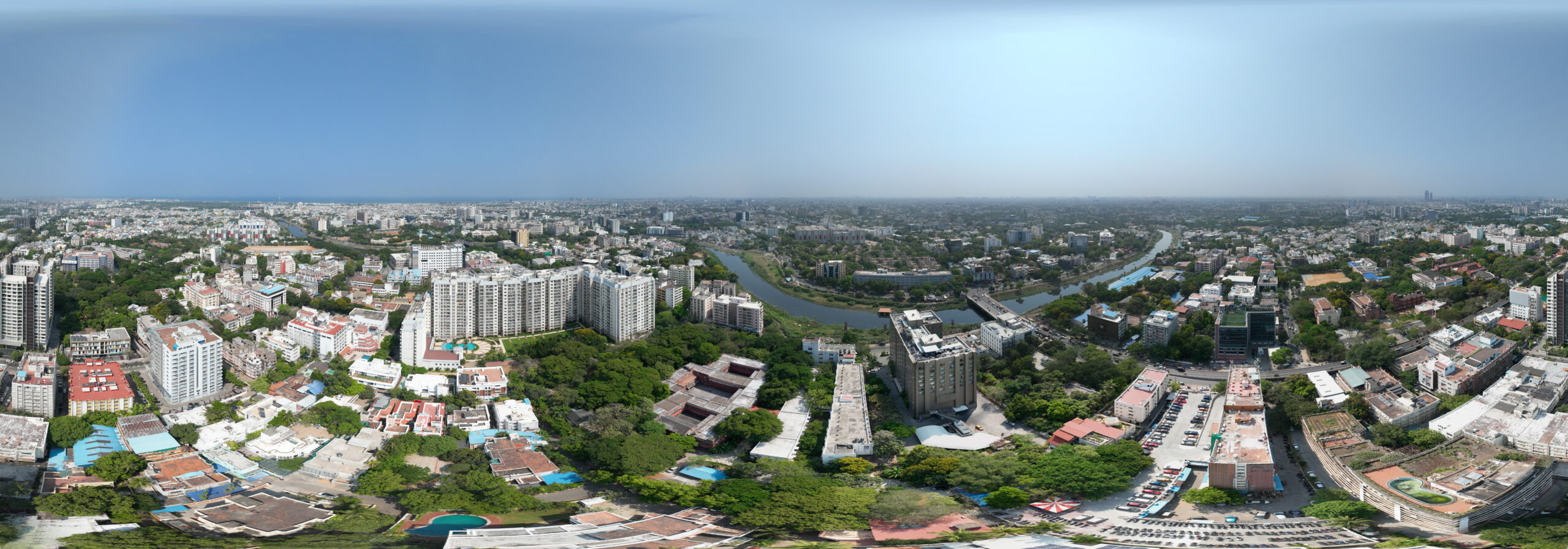
| Description | Price: 500/acre It involves using remote-control aircraft to take video with the use of a combination of a camera on the end of a fixed-wing machine and remote control that allows it to hover above the scene. This type of videography and photography has exciting implications for many industries and business ventures. | Surveying India specializes in Providing Aerial Photography Service For capturing aerial imagery at various heights using unmanned aerial aircrafts, also known as Drone, UAV or UAS, equipped with high-resolution cameras and multi-axial gimbal. This technology enables us to operate in a fast, flexible and cost saving manner. Since we fly below cloud cover we can operate on many more days compared to manned aerial photography missions. Flying at low altitudes yields unique and ultra-sharp images in which every detail is visible. | Surveying India specializes in Aerial Videography .Contour lines are generated by connecting all the points of similar elevation together. These lines are drawn on a plan of a particular terrain to understand the nature of surface, identify cut fill volume, study water flow characteristics, estimate valley depth and steepness. Contour lines form a smooth curve of same elevation points. Contour lines are also called as isohypse, isoline, isopleth, or isarithm. | Aerial video is an emerging form of data acquisition for scene understanding and object tracking. The video is captured by low flying aerial platforms that integrate Global Positioning Systems (GPS) and automated image processing to improve the accuracy and cost-effectiveness of data collection and reduction. Recorders can incorporate in-flight voice records from the cockpit intercom system. The addition of audio narration is an extremely valuable tool for documentation and communication. GPS data is incorporated with a text-captioning device on each video frame. Helicopter platforms enable "low and slow" flights, acquiring a continuous visual record without motion blur. Innovations in remote sensing cameras have allowed the identification of objects that could not have been previously identified. Pipeline and power corridors and their infrastructure can be documented with digital media recording. Video Mapping System is an example of how this technology is used today. | Drone Video Surveying Services. | |
| Content | Drone photography is the capture of still images and video by a remotely-operated or autonomous unmanned aerial vehicle (UAV), also known as an unmanned aircraft system (UAS) or, more commonly, as a drone | Event Location - Pan India Date - Any Duration - Any Service Location - All Over India Service Duration - 1-12 Months | Event Location - Pan India Service Location - Road & Highway or Railway India Service Mode - On site Service Type - Drone Videography Survey | Type Of Videos - FHD and 4K Service Type - Drone Video Service Location - PAN India Service Mode - Offline | ||
| Weight | ||||||
| Dimensions | N/A | N/A | N/A | N/A | N/A | N/A |
| Additional information |