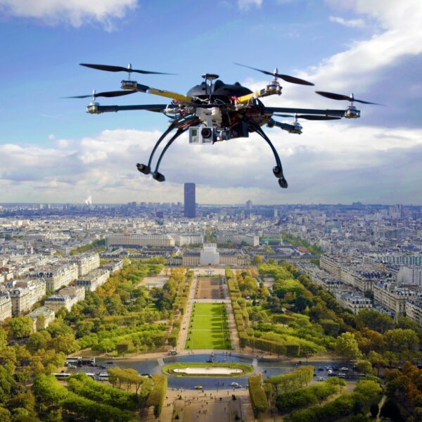
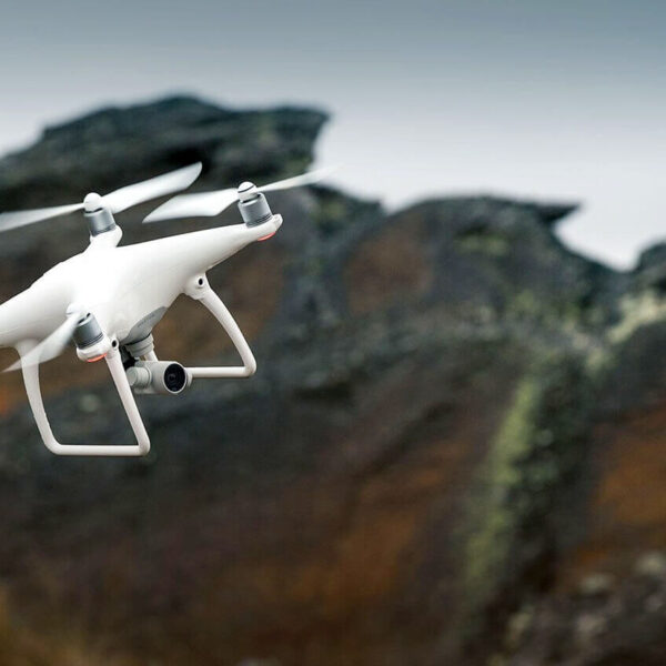
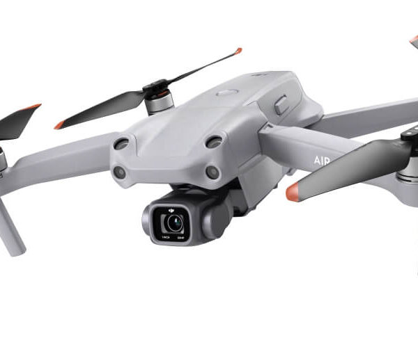
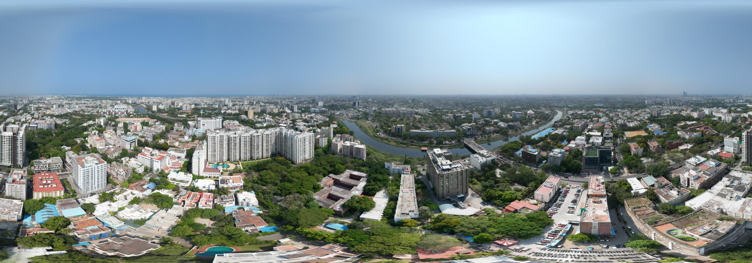
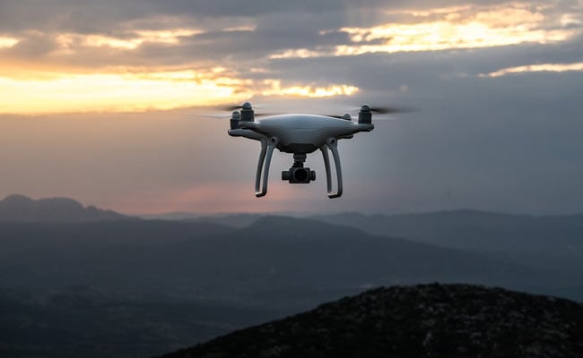
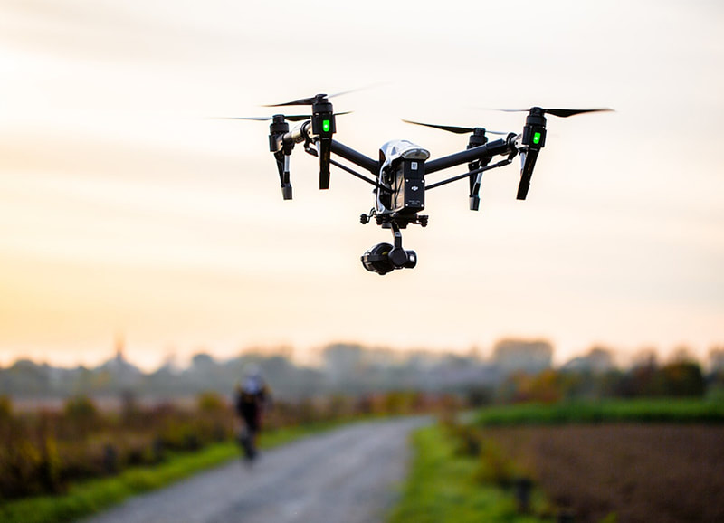
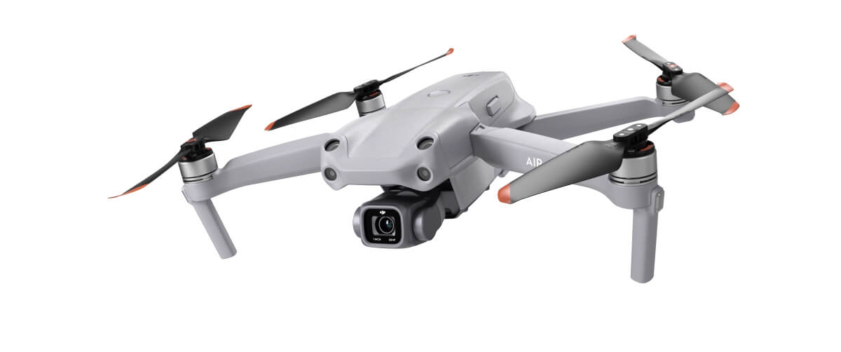
| Description | | Capture stunning aerial images and videos for various purposes such as real estate listings, events, marketing, and more | Surveying India specializes in Providing Aerial Photography Service For capturing aerial imagery at various heights using unmanned aerial aircrafts, also known as Drone, UAV or UAS, equipped with high-resolution cameras and multi-axial gimbal. This technology enables us to operate in a fast, flexible and cost saving manner. Since we fly below cloud cover we can operate on many more days compared to manned aerial photography missions. Flying at low altitudes yields unique and ultra-sharp images in which every detail is visible. | Aerial Drone Photography Service. | | Price: 500/acre
It involves using remote-control aircraft to take video with the use of a combination of a camera on the end of a fixed-wing machine and remote control that allows it to hover above the scene.
This type of videography and photography has exciting implications for many industries and business ventures. |
| Content | | High-resolution images, cinematic quality, unique perspectives, and data collection capabilities.
Top Client: Hyundai | Event Location - Pan India
Date - Any
Duration - Any
Service Location - All Over India
Service Duration - 1-12 Months | Service Type - Aerial Photography
Service Location - PAN India
Service Mode - Offline | | Drone photography is the capture of still images and video by a remotely-operated or autonomous unmanned aerial vehicle (UAV), also known as an unmanned aircraft system (UAS) or, more commonly, as a drone |