Description
Event Location – Pan India
Date – Any
Duration – Any
Service Location – All Over India
Service Duration – 1-12 Months

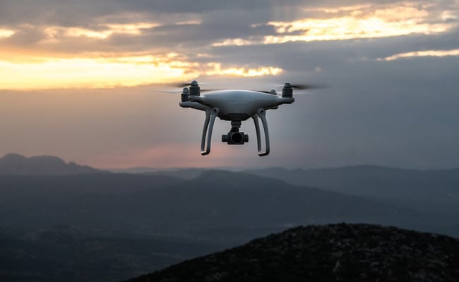
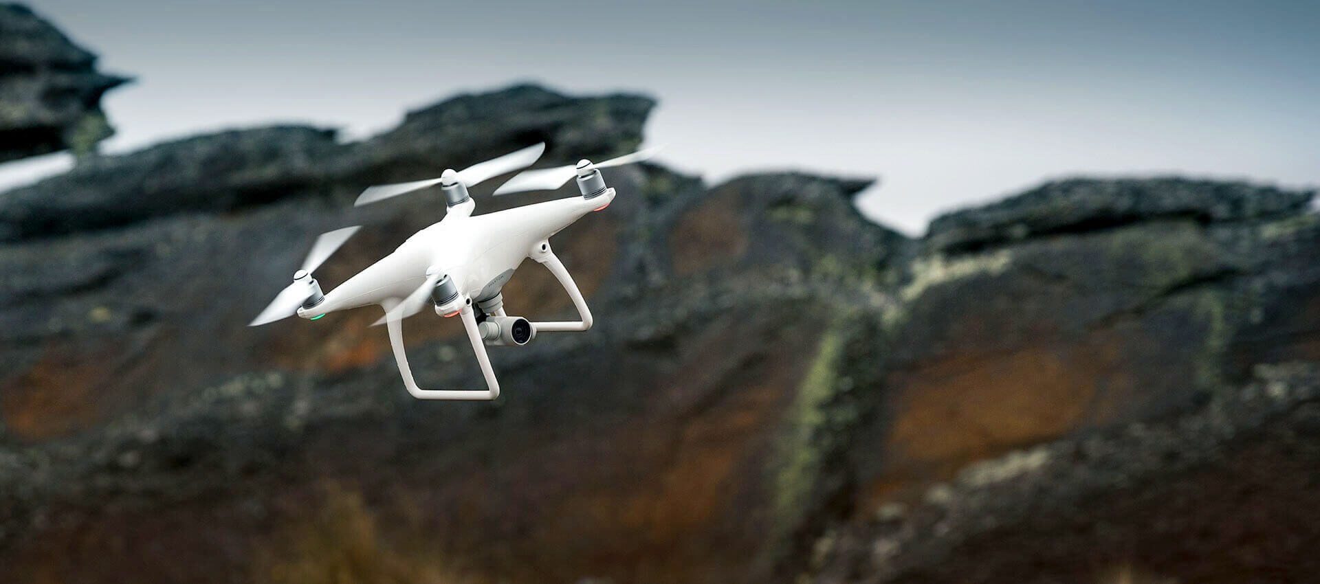
Surveying India specializes in Providing Aerial Photography Service For capturing aerial imagery at various heights using unmanned aerial aircrafts, also known as Drone, UAV or UAS, equipped with high-resolution cameras and multi-axial gimbal. This technology enables us to operate in a fast, flexible and cost saving manner. Since we fly below cloud cover we can operate on many more days compared to manned aerial photography missions. Flying at low altitudes yields unique and ultra-sharp images in which every detail is visible.


Event Location – Pan India
Date – Any
Duration – Any
Service Location – All Over India
Service Duration – 1-12 Months
| Settings | Aerial Photography Service remove | Drone Pre Wedding Videography Service remove | Aerial Drone Photography Service remove | Videography & Photography Drone Service remove | Aerial Videography remove | Drone Videography Service remove |
|---|---|---|---|---|---|---|
| Image | 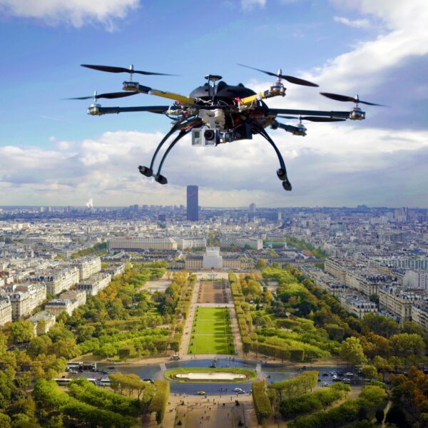 |  |  | 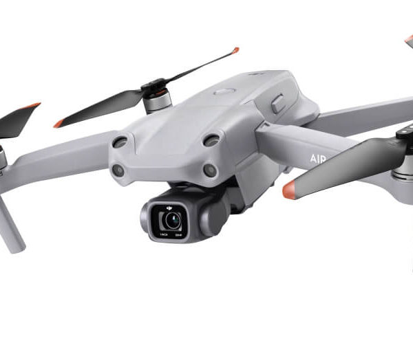 |  |  |
| SKU | ||||||
| Rating | ||||||
| Price | ₹500.00 | |||||
| Stock | ||||||
| Availability | ||||||
| Add to cart | ||||||
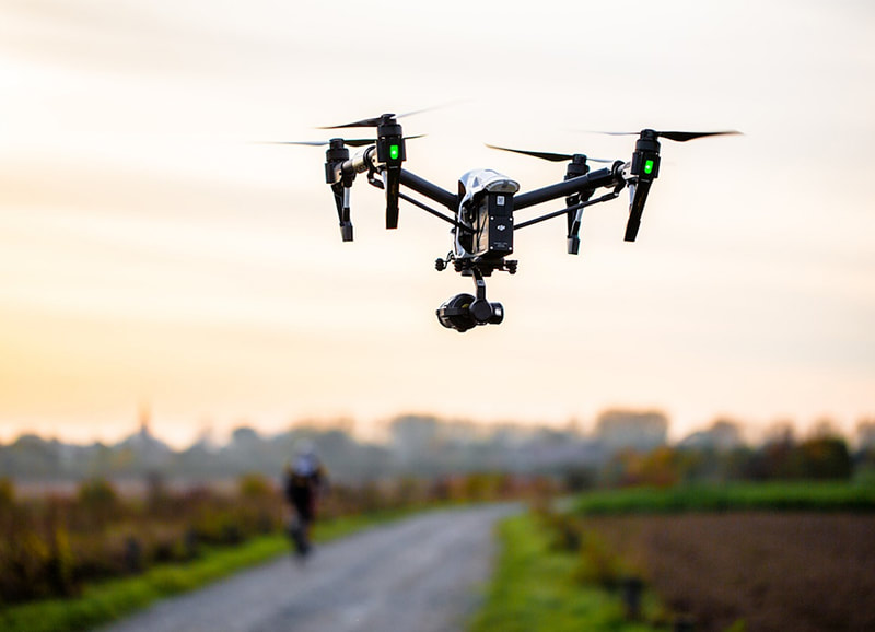
| Description | Surveying India specializes in Providing Aerial Photography Service For capturing aerial imagery at various heights using unmanned aerial aircrafts, also known as Drone, UAV or UAS, equipped with high-resolution cameras and multi-axial gimbal. This technology enables us to operate in a fast, flexible and cost saving manner. Since we fly below cloud cover we can operate on many more days compared to manned aerial photography missions. Flying at low altitudes yields unique and ultra-sharp images in which every detail is visible. | Aerial Drone Photography Service. | Price: 500/acre It involves using remote-control aircraft to take video with the use of a combination of a camera on the end of a fixed-wing machine and remote control that allows it to hover above the scene. This type of videography and photography has exciting implications for many industries and business ventures. | Surveying India specializes in Aerial Videography .Contour lines are generated by connecting all the points of similar elevation together. These lines are drawn on a plan of a particular terrain to understand the nature of surface, identify cut fill volume, study water flow characteristics, estimate valley depth and steepness. Contour lines form a smooth curve of same elevation points. Contour lines are also called as isohypse, isoline, isopleth, or isarithm. | We provides Drone/Unmanned Aerial Vehicle (UAV) services to both industry and government, covering a wide and varied range of tasks such as UAV inspection and survey, crisis management, radio tower, telecommunications links, industrial building, quarry, wind turbine, chimney, manufacturing works, bridge, rock face or other piece of infrastructure, and also deploy rapid reaction response teams to deal with emergencies and capable to reach places that are difficult, expensive, dangerous, ‘live’ or even impossible to approach by manned inspection teams. | |
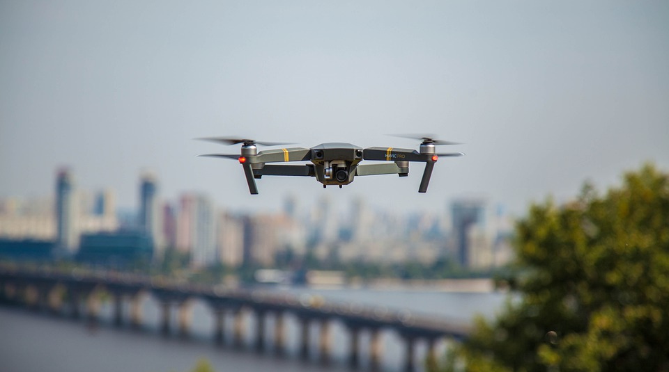
| Content | Event Location - Pan India Date - Any Duration - Any Service Location - All Over India Service Duration - 1-12 Months | Service Type - Aerial Photography Service Location - PAN India Service Mode - Offline | Drone photography is the capture of still images and video by a remotely-operated or autonomous unmanned aerial vehicle (UAV), also known as an unmanned aircraft system (UAS) or, more commonly, as a drone | |||
| Weight | ||||||
| Dimensions | N/A | N/A | N/A | N/A | N/A | N/A |
| Additional information |