Description
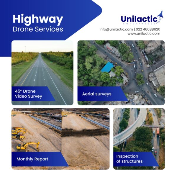
Use of Drones for monthly video recording of all national highway projects during their different stages of development, construction, operation and maintenance
₹600.00
use of drones for monthly video recording of all national highway projects during their different stages of development, construction, operation and maintenance
Use of Drones for monthly video recording of all national highway projects during their different stages of development, construction, operation and maintenance
| Settings | National highways surveillance service remove | Aerial Surveillance & Inspection remove | *Comprehensive Drone Solution for Construction & Infra remove | Transmission and Communication Tower Inspection remove | Railways and Roadways Planning and Progression Monitoring remove | Transmission Line Survey remove |
|---|---|---|---|---|---|---|
| Image |  |  |  |  |  |  |
| SKU | ||||||
| Rating | ||||||
| Price | ₹600.00 | |||||
| Stock | ||||||
| Availability | ||||||
| Add to cart | ||||||
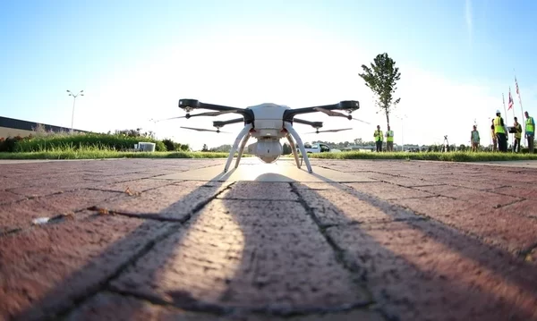
| Description | use of drones for monthly video recording of all national highway projects during their different stages of development, construction, operation and maintenance | Drone-based inspections are helping companies improve efficiency and data quality, while increasing safety and speed of operation. Because it’s an evolving technology, some people may not be aware of the potential benefits they can realize using UAVs to inspect assets. | Our high-tech drones are equipped with cutting-edge sensors, providing real-time data that enables construction professionals to make better decisions. Our services include aerial surveys, mapping, inspection, and progress monitoring. By leveraging our expertise, construction companies can reduce costs, improve efficiency, and enhance safety on the job site. Let Drogo Drones take your construction project to new heights. Contact us to and avail a Free consultation NOW! Stay connected with us https://linktr.ee/drogodrones |
|
| We Skymap Geo-Infomatic Pvt. Ltd. is a Geospatial & Engineering Consultancy Company that is based in Delhi India. Skymap Company technologies in providing like Photogrammetry, Geographical Information System (GIS), Unmanned Aerial Vehicle (UAV), LIDAR, Satellite based , Asset Mapping, Inspection of assets, Topography Survey, Remote Sensing that can help to client to some problem and favourable time in different Dominion. |
| Content | Use of Drones for monthly video recording of all national highway projects during their different stages of development, construction, operation and maintenance | Drone inspections can dramatically reduce the high costs, safety risks, and time involved with conventional inspection methods. Since drones are small and inexpensive to operate, you can carry out more inspections every month than you can with conventional methods, without shutting down operations and affecting production. In traditional methods, you need to schedule a shutdown and assemble several workers, vehicles, helicopters, and other inspection equipment, especially for the energy sector. Also, the mobility, speed, ease of use, and efficiency of drones provides companies with the opportunity to collect data on a large scale. Since the drones can be used in even the most difficult areas, it makes it possible to inspect a whole pipeline and its surroundings, just in case there is need to analyze the extent of a leak. | ||||
| Weight | ||||||
| Dimensions | N/A | N/A | N/A | N/A | N/A | N/A |
| Additional information |