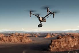
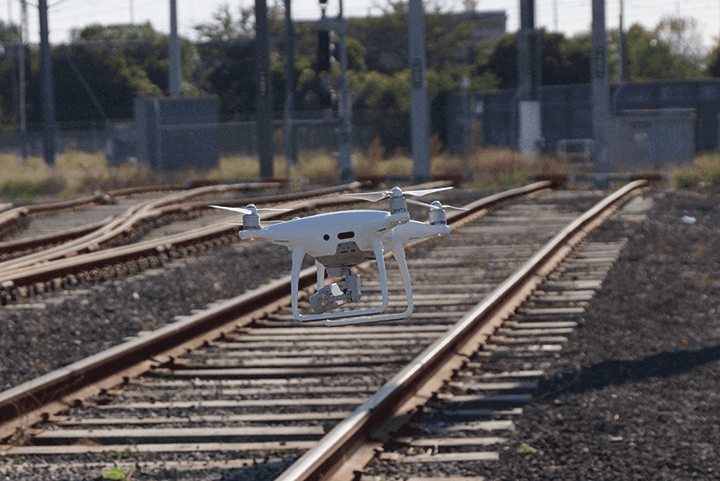
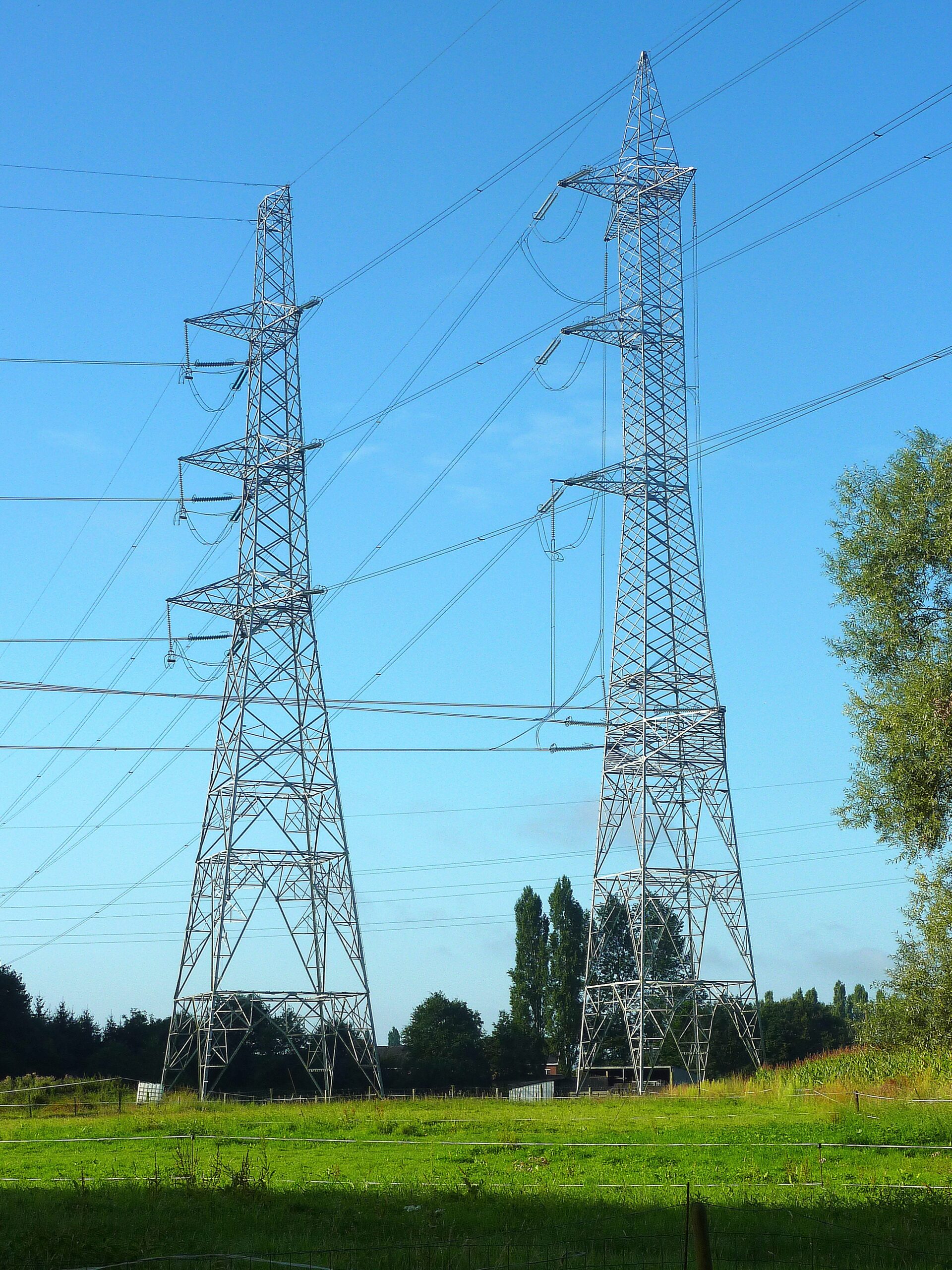
Description
Improved safety, reduced downtime, and detailed visual reports.

Conduct inspections of infrastructure like bridges, power lines, and cell towers to assess their condition and identify potential issues.

Improved safety, reduced downtime, and detailed visual reports.
| Settings | #1 Infrastructure Inspection with drones remove | Railways and Roadways Planning and Progression Monitoring remove | National highways surveillance service remove | *Comprehensive Drone Solution for Construction & Infra remove | Railway Topographical Survey remove | *Volumetric Analysis by Drogo Drones remove |
|---|---|---|---|---|---|---|
| Image | 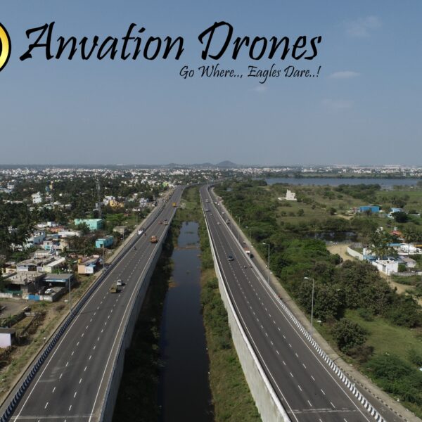 |  |  |  |  | 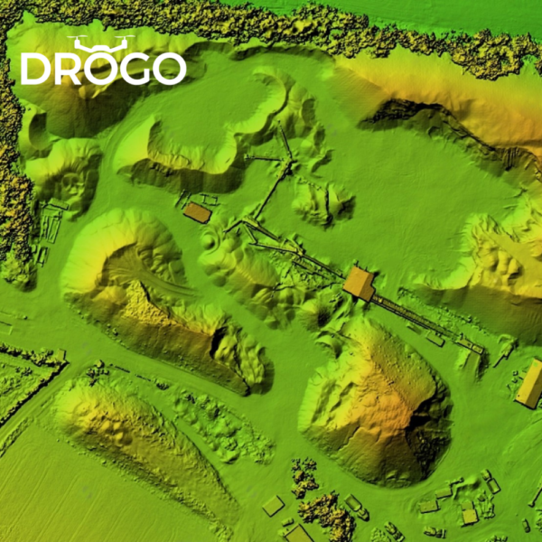 |
| SKU | ||||||
| Rating | ||||||
| Price | ₹600.00 | |||||
| Stock | ||||||
| Availability | ||||||
| Add to cart | ||||||
| Description | Conduct inspections of infrastructure like bridges, power lines, and cell towers to assess their condition and identify potential issues. |
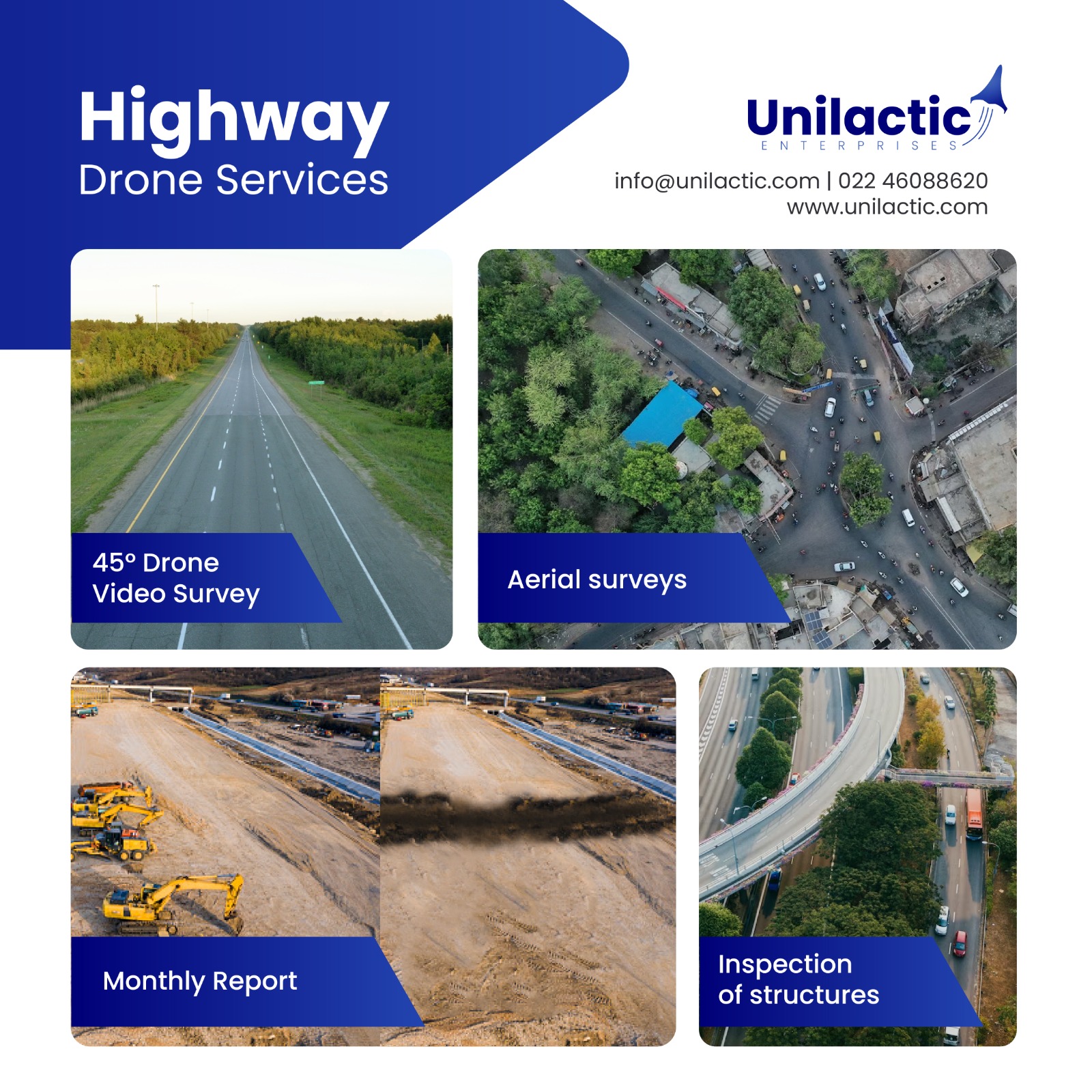
| use of drones for monthly video recording of all national highway projects during their different stages of development, construction, operation and maintenance | Our high-tech drones are equipped with cutting-edge sensors, providing real-time data that enables construction professionals to make better decisions. Our services include aerial surveys, mapping, inspection, and progress monitoring. By leveraging our expertise, construction companies can reduce costs, improve efficiency, and enhance safety on the job site. Let Drogo Drones take your construction project to new heights. Contact us to and avail a Free consultation NOW! Stay connected with us https://linktr.ee/drogodrones | We Skymap Geo-Infomatic Pvt. Ltd. is a Geospatial & Engineering Consultancy Company that is based in Delhi India. Skymap Company technologies in providing like Photogrammetry, Geographical Information System (GIS), Unmanned Aerial Vehicle (UAV), LIDAR, Satellite based , Asset Mapping, Inspection of assets, Topography Survey, Remote Sensing that can help to client to some problem and Favourable time in different Dominion. | Drogo Drones have revolutionised the process of volumetric analysis by providing accurate and efficient measurements. Volumetric analysis is a technique used to measure the volume of a three-dimensional object or space. Using our drones for volumetric analysis involves capturing images of a site or object from different angles and heights. The images are then processed using specialized software to generate 3D models of the site or object. These 3D models can be used to calculate the volume of the space or object with a high degree of accuracy. Contact us to and avail a Free consultation NOW! Stay connected with us https://linktr.ee/drogodrones |
| Content | Improved safety, reduced downtime, and detailed visual reports. | Use of Drones for monthly video recording of all national highway projects during their different stages of development, construction, operation and maintenance | Way of Survey - Exploratory Research Service Location - Pan India Service Type - Survey Type of Technology - Drone | |||
| Weight | ||||||
| Dimensions | N/A | N/A | N/A | N/A | N/A | N/A |
| Additional information |