Description
Site Location – Pan India
Surveying Location – Pan Location
Service Mode – Offline
Mode Of Report – Hard copy
Scope Of Survey – All existing features

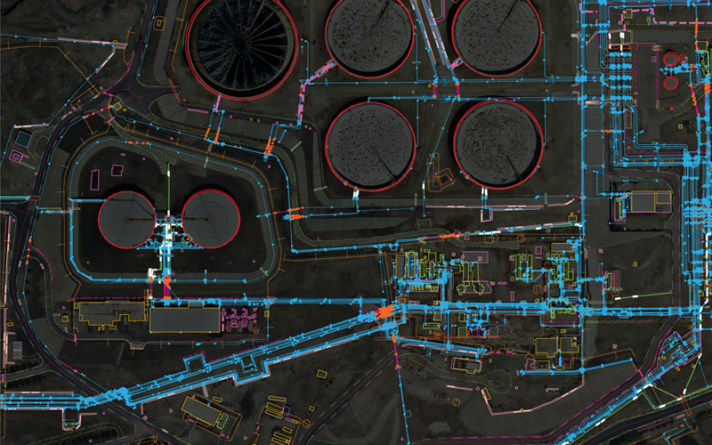
In India, the National Highways Development Project is being carried out to upgrade, rehabilitate and widen major highways to a higher standard. “National Highways” account for only about 2% of the total length of roads, but carry about 40% of the total traffic across the length and breadth of the country. These projects are managed by the National Highways Authority of India (NHAI) under the Ministry of Road, Transport and Highways. We also provide NHAI Road Survey


Site Location – Pan India
Surveying Location – Pan Location
Service Mode – Offline
Mode Of Report – Hard copy
Scope Of Survey – All existing features
| Settings | NHAI Road Survey remove | Drone Topographical Survey Service remove | Topographic Land Surveying Drone Services remove | Bridge Survey Service remove | Geological Drone Survey remove | Mines Volumetric Drone Survey Service remove |
|---|---|---|---|---|---|---|
| Image |  |  |  | 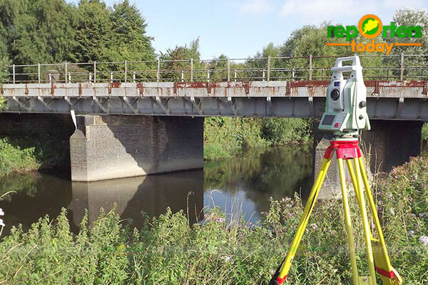 |  | 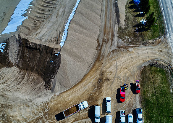 |
| SKU | ||||||
| Rating | ||||||
| Price | ||||||
| Stock | ||||||
| Availability | ||||||
| Add to cart | ||||||
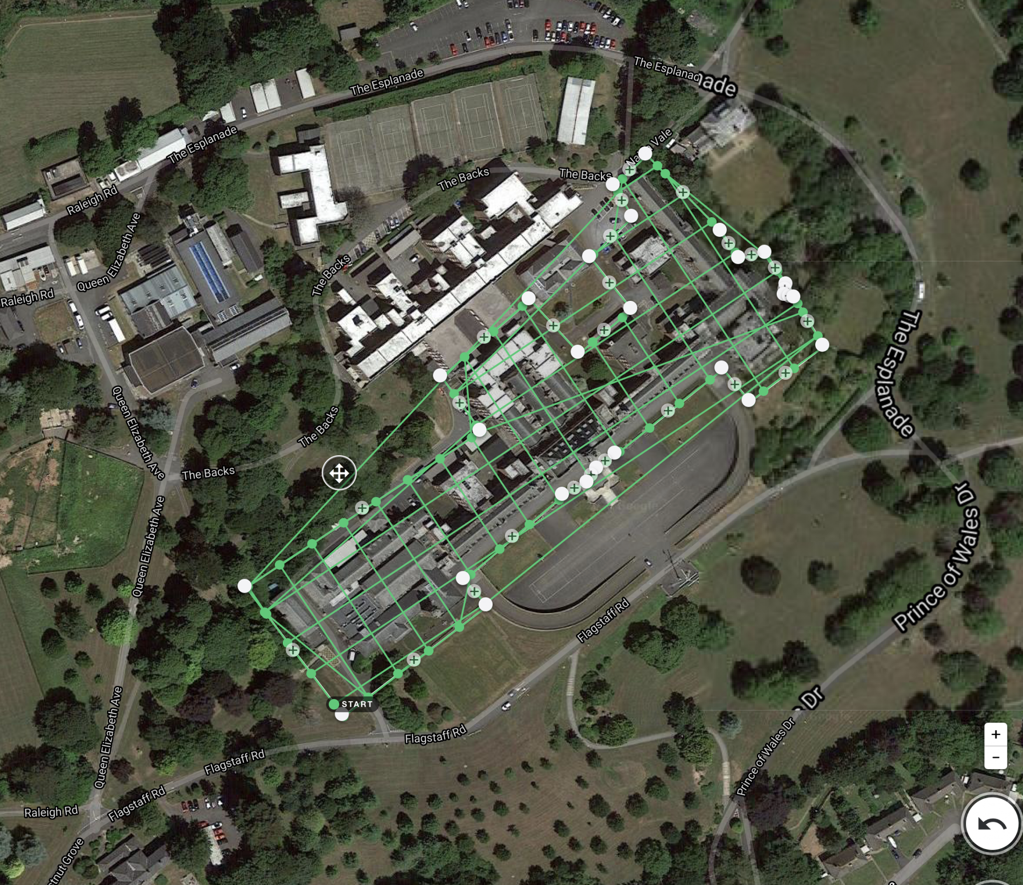
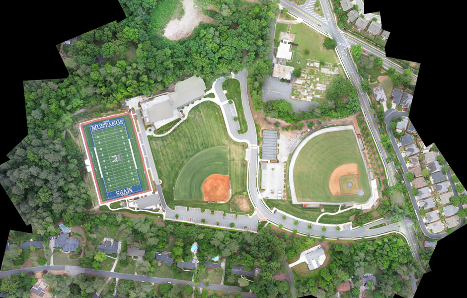
| Description | In India, the National Highways Development Project is being carried out to upgrade, rehabilitate and widen major highways to a higher standard. "National Highways" account for only about 2% of the total length of roads, but carry about 40% of the total traffic across the length and breadth of the country. These projects are managed by the National Highways Authority of India (NHAI) under the Ministry of Road, Transport and Highways. We also provide NHAI Road Survey | With the assistance of our enormously competent land diligent team members, we are involved in offering Drone Survey Service. These interior design work services can be offered as per client preferences. Apart from this, we are rendering these services with the help of the latest technology-based resources. | Topographic Land Surveying Drone Services. | Our organization is offering a large array of Geological Surveying Services to our valued clients. Rendered as per client need, these are used in various fields. In addition to this, the offered array of interior designing services is rendered using the latest technology and top-grade materials within a limited period. | Backed by our skilled professionals, we are involved in providing Volumetric Survey Service. | |
| Content | Site Location - Pan India Surveying Location - Pan Location Service Mode - Offline Mode Of Report - Hard copy Scope Of Survey - All existing features | Measurement Type - Acre Service Mode - Offline Surveying Method - By Drone Type Of Services - Visual Usage/Application - AutoCAD Services Include - 3D and 2D Mapping Service Type - Drone Topographical Survey Service Location - PAN India | Services Include - 3D and 2D Mapping Usage/Application - AutoCAD and Global Mapper Service Mode - Offline Measurement Type - Acre Surveying Method - By Drone Service Type - Topographic Land Surveying Drone Service Location - PAN India | Services Include - 3D and 2D Mapping Usage/Application - AutoCAD Type Of Services - Visual Surveying Method - By Drone Service Type - Geological Drone Survey Service Location - PAN India Service Mode - Offline | Service Type - Mines Volumetric Drone Survey Service Location - PAN India Service Mode - Offline | |
| Weight | ||||||
| Dimensions | N/A | N/A | N/A | N/A | N/A | N/A |
| Additional information |