Description
Site Location – All Over India
Area / Size – Any
Start Date / Month – Any
Is It Mobile Access – Mobile Access
")


Site Location – All Over India
Area / Size – Any
Start Date / Month – Any
Is It Mobile Access – Mobile Access
| Settings | Aerial Mapping Service remove | Topographic Land Surveying Drone Services remove | 3D Mining Drone Mapping Service remove | Railways and Roadways Planning and Progression Monitoring remove | Drone Topographical Survey Service remove | Drone UAV Survey remove |
|---|---|---|---|---|---|---|
| Image |  |  |  |  |  | |
| SKU | ||||||
| Rating | ||||||
| Price | ||||||
| Stock | ||||||
| Availability | ||||||
| Add to cart | ||||||
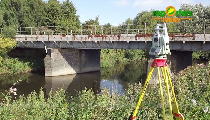
| Description | Through regular improvement, we are offering an exclusive collection of Aerial Mapping Service. Our highly skilledprofessionals render this offered mapping service on well-defined parameters. Offered array of mapping services is rendered using best grade inputs.
| Topographic Land Surveying Drone Services. | 3D Mining Drone Mapping Service. |
| With the assistance of our enormously competent land diligent team members, we are involved in offering Drone Survey Service. These interior design work services can be offered as per client preferences. Apart from this, we are rendering these services with the help of the latest technology-based resources. | Our organization is offering an assorted range of UAV Survey. We are working dedicatedly to catering to the requirement of the client. Apart from this, our professionals make honest efforts to provide this survey service within the assured set of time. |
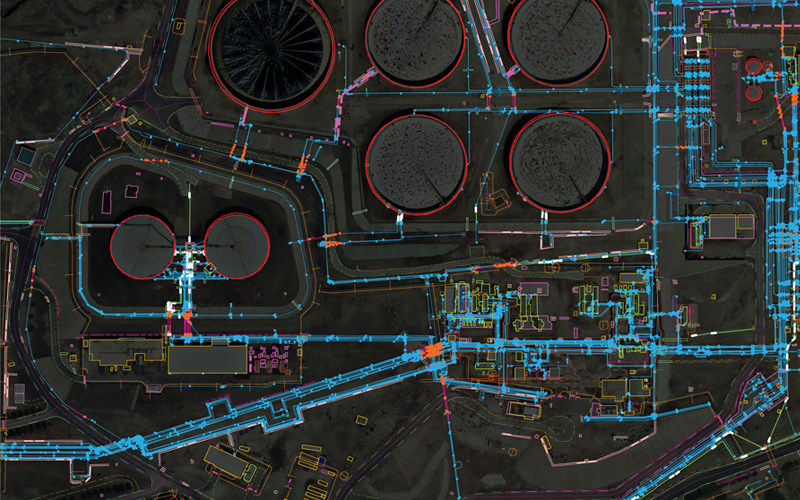
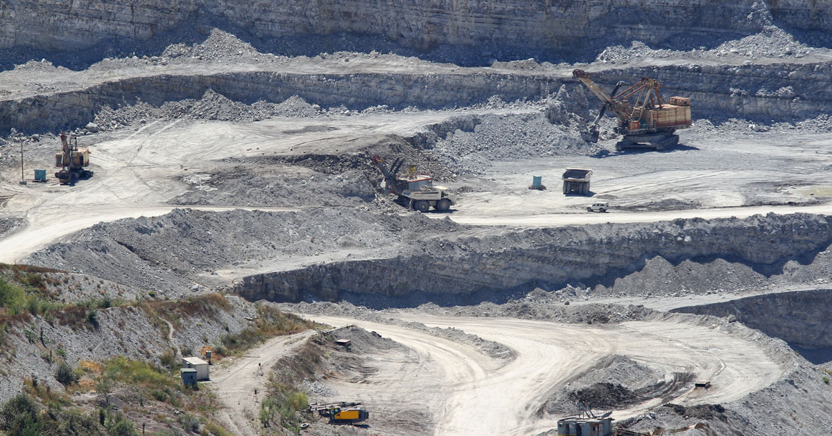
| Content | Site Location - All Over India Area / Size - Any Start Date / Month - Any Is It Mobile Access - Mobile Access | Services Include - 3D and 2D Mapping Usage/Application - AutoCAD and Global Mapper Service Mode - Offline Measurement Type - Acre Surveying Method - By Drone Service Type - Topographic Land Surveying Drone Service Location - PAN India | Usage/Application - AutoCAD and Global Mapper Surveying Method - By Drone Service Location - PAN India Service Mode - Offline | Measurement Type - Acre Service Mode - Offline Surveying Method - By Drone Type Of Services - Visual Usage/Application - AutoCAD Services Include - 3D and 2D Mapping Service Type - Drone Topographical Survey Service Location - PAN India | ||
| Weight | ||||||
| Dimensions | N/A | N/A | N/A | N/A | N/A | N/A |
| Additional information |