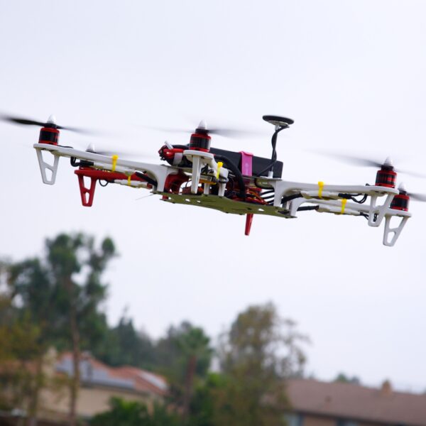
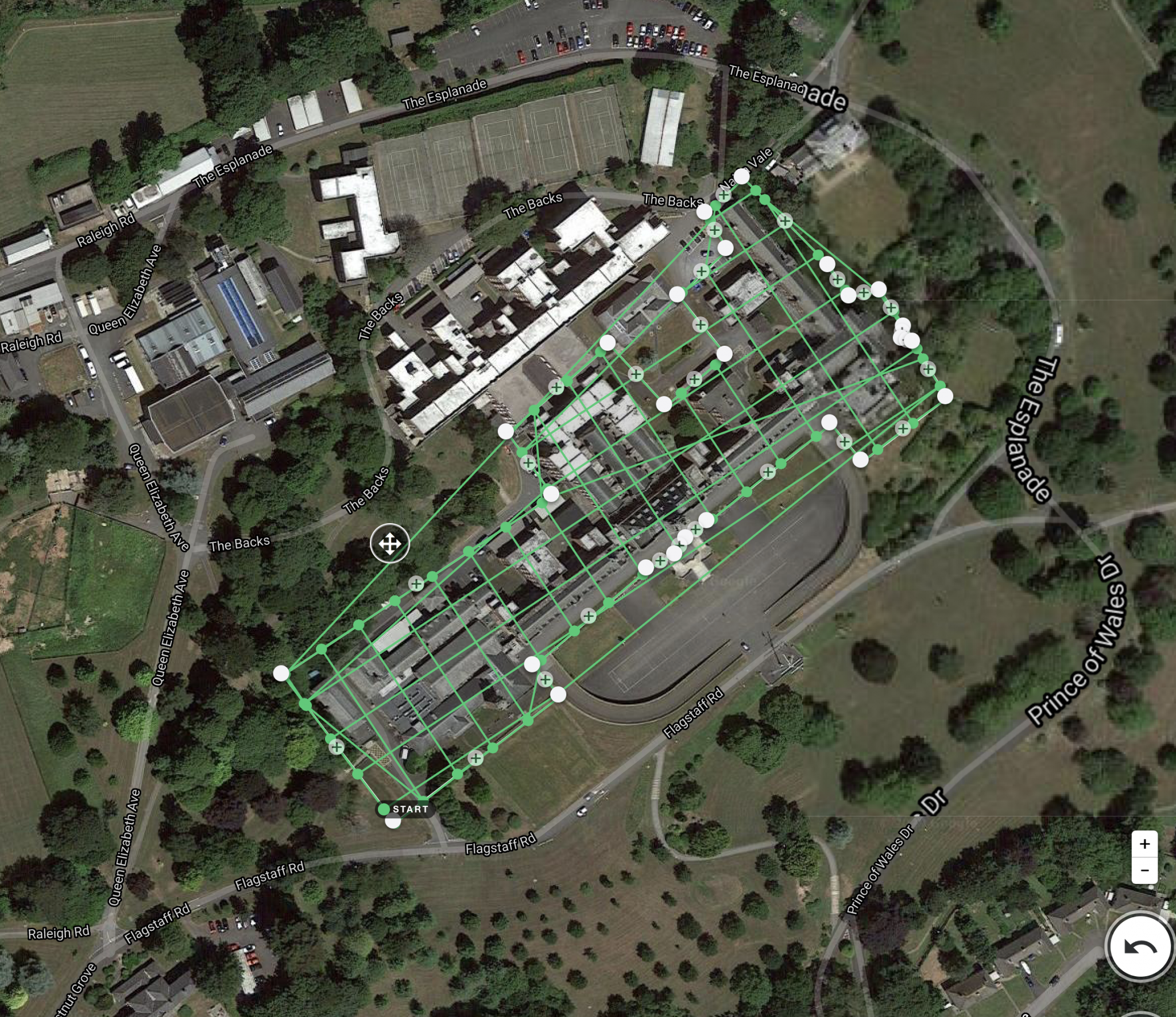
| Description | With the assistance of our enormously competent land diligent team members, we are involved in offering Drone Survey Service. These interior design work services can be offered as per client preferences. Apart from this, we are rendering these services with the help of the latest technology-based resources. | | 3D Mining Drone Mapping Service. |
- PROJECT CONSTRUCTION MONITORING
- RAILWAY ASSET MAPPING
- BRIDGE INSPECTION
- NH MONITORING
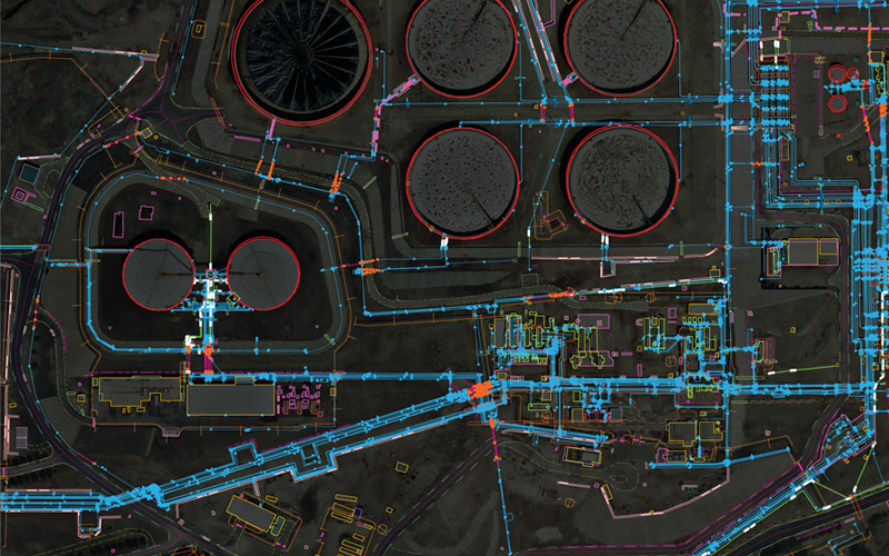
| We provides Drone/Unmanned Aerial Vehicle (UAV) services to both industry and government, covering a wide and varied range of tasks such as UAV inspection and survey, crisis management, radio tower, telecommunications links, industrial building, quarry, wind turbine, chimney, manufacturing works, bridge, rock face or other piece of infrastructure, and also deploy rapid reaction response teams to deal with emergencies and capable to reach places that are difficult, expensive, dangerous, ‘live’ or even impossible to approach by manned inspection teams. | Backed by our skilled professionals, we are involved in providing Volumetric Survey Service. |
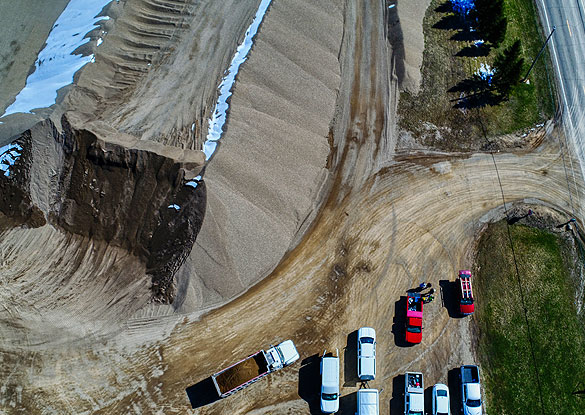
| Content | Measurement Type - Acre
Service Mode - Offline
Surveying Method - By Drone
Type Of Services - Visual
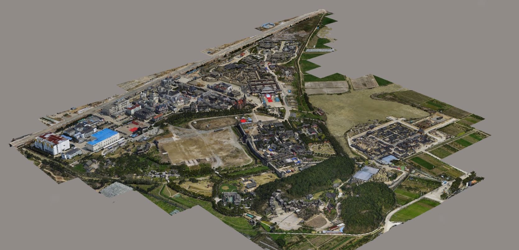
Usage/Application - AutoCAD
Services Include - 3D and 2D Mapping
Service Type - Drone Topographical Survey
Service Location - PAN India | Usage/Application - Volume of the commodity
Mode Of Report - Hard Copy | Usage/Application - AutoCAD and Global Mapper
Surveying Method - By Drone
Service Location - PAN India
Service Mode - Offline | | | Service Type - Mines Volumetric Drone Survey
Service Location - PAN India
Service Mode - Offline |