Availability: In Stock
*Arial Mapping Solutions
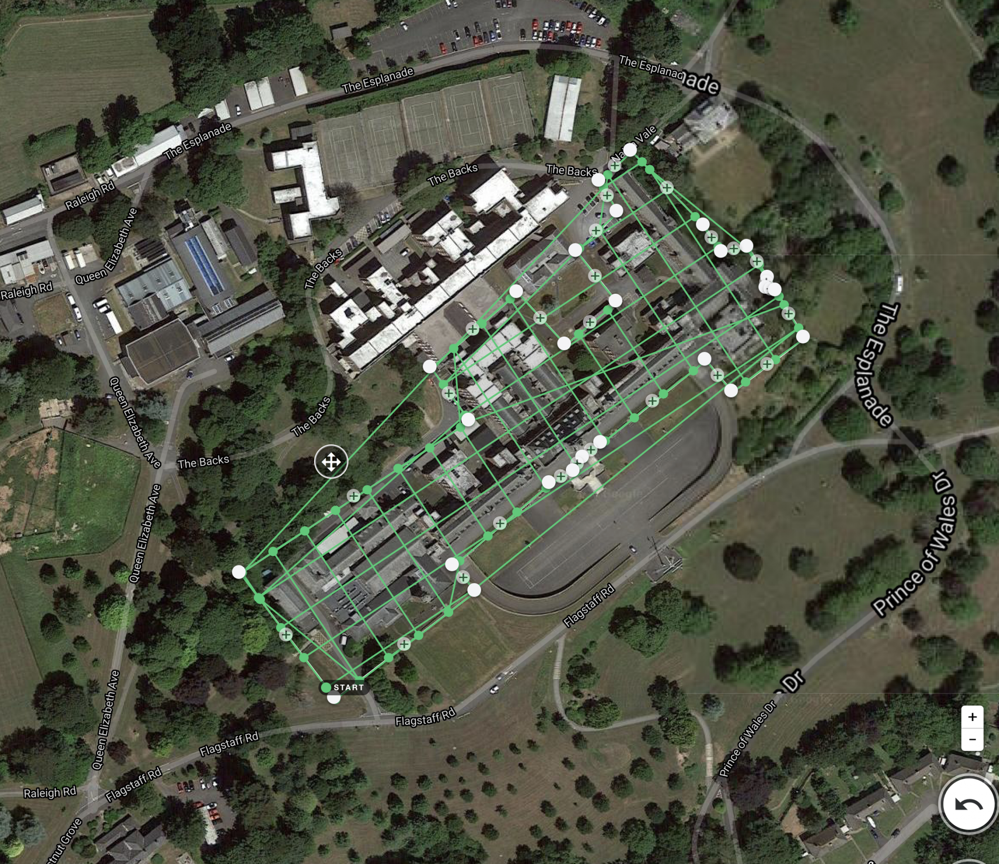
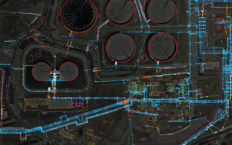
Drogo is equipped with best-in-class sensors and cameras, which capture high-quality data, even in low light conditions. Our drones are highly maneuverable, which allows them to fly at low altitudes and capture detailed imagery of the ground. We also use advanced GPS and mapping software, which ensures that our data is highly accurate and precise.
Contact us to and avail a Free consultation NOW!
Stay connected with us
https://linktr.ee/drogodrones
Category: Mapping & Surveying Service
Free Delivery
Orders Over 00
100% Secure
Payment
Expert Customer
Service
Payment

Quick Comparison
| Settings | *Arial Mapping Solutions remove | Railways and Roadways Planning and Progression Monitoring remove | Acre 3d And 2d Mapping remove | Quantity Surveying Services remove | DGPS Survey Services remove | 3D Mapping Drone Service remove |
|---|---|---|---|---|---|---|
| Image |  |  | 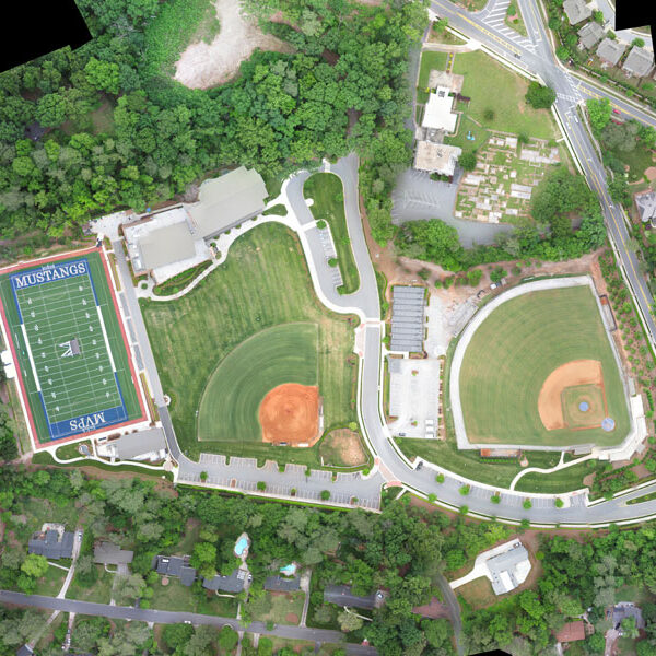 |  |  |  |
| SKU | ||||||
| Rating | ||||||
| Price | ||||||
| Stock | ||||||
| Availability | ||||||
| Add to cart | ||||||
| Description | Drogo is equipped with best-in-class sensors and cameras, which capture high-quality data, even in low light conditions. Our drones are highly maneuverable, which allows them to fly at low altitudes and capture detailed imagery of the ground. We also use advanced GPS and mapping software, which ensures that our data is highly accurate and precise. Contact us to and avail a Free consultation NOW! Stay connected with us https://linktr.ee/drogodrones |
| With the assistance of our enormously competent land diligent team members, we are involved in offering Drone Survey Service. These interior design work services can be offered as per client preferences. Apart from this, we are rendering these services with the help of the latest technology-based resources | Supported by highly accomplished crew of employees, we are rendering DGPS Survey Service. These provided services are delivered under the stern supervision of adroit personnel as per set industry principles. In addition to this, these provided services are attributed amid our client for reliability and cost effectiveness. | We are one of the foremost firms of 3D Mapping Service. These services are enormously well-liked in the market for their nominal rates and consistency. | |
| Content | With the assistance of our enormously competent land diligent team members, we are involved in offering Drone Survey Service. These interior design work services can be offered as per client preferences. Apart from this, we are rendering these services with the help of the latest technology-based resource
| Usage/Application - Volume of the commodity Mode Of Report - Hard Copy | Site Location - PAN India Mode Of Report - Excel Service Type - DGPS Survey Service Mode - Offline | Scope Of Survey - All Usage/Application - AutoCAD Type Of Services - Visual Surveying Method - By Drone Service Location - PAN India Service Mode - Offline Service Type - 3D Mapping Drone | ||
| Weight | ||||||
| Dimensions | N/A | N/A | N/A | N/A | N/A | N/A |
| Additional information |
