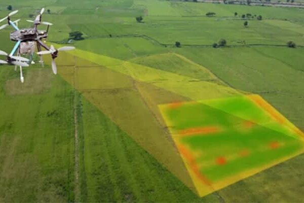
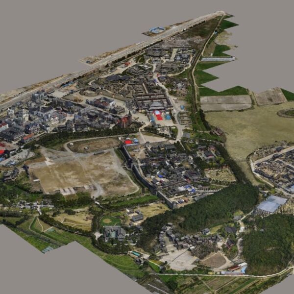
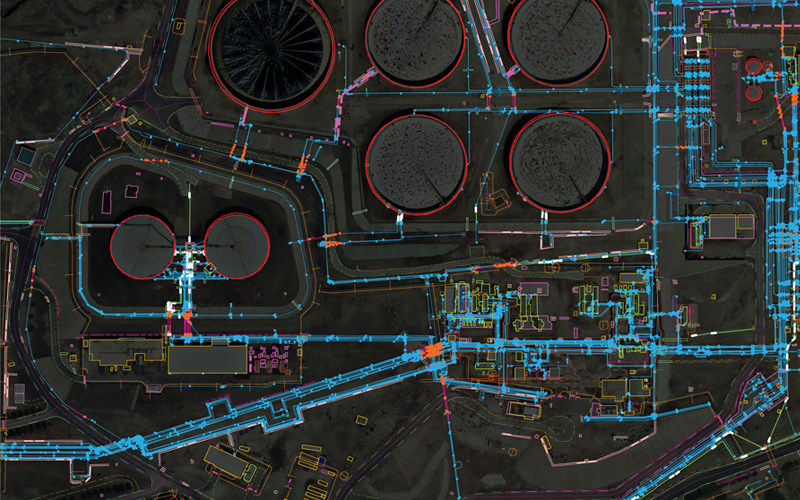
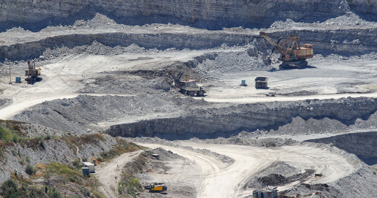
| Description | Marketplace at www.geocloud.work | Backed by our skilled professionals, we are involved in providing Volumetric Survey Service. | We strives to provide visible Aerial Drone Surveying/Mapping administrations all through India. With precise knowledge of the relevant field, we are instrumental in offering a comprehensive range of Aerial Mapping Service. We work for DJI Aerial Mapping Service as per the clients need. Also, offered services are famous for high flexibility, and quality assured. | Surveying India provides an effective drone mapping system to capture and process photogrammetric data for mining, construction, agriculture and infrastructure projects using the most advance drone in India. Our design software ensures a cost efficient and time saving solution for rapidly mapping and changes in mining, construction, agriculture and infrastructure applications. |
Through regular improvement, we are offering an exclusive collection of Aerial Mapping Service. Our highly skilledprofessionals render this offered mapping service on well-defined parameters. Offered array of mapping services is rendered using best grade inputs.
| |
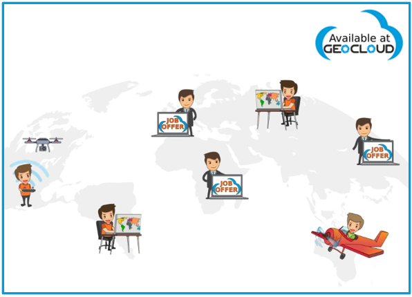
| Content | www.geocloud.work is a SaaS platform for 3rd party desktop software and a Marketplace connecting Employers and Contractors. Our contractors are experienced in working at www.geocloud.work with a variety of geospatial software – Metashape (Agisoft), 3Dsurvey, CATALYST (PCI Geomatics), Photomod (Racurs), Topocad, Hydromagic, nanoCAD, progeCAD, QGIS, Panorama GIS, Cloud Compare and much more.
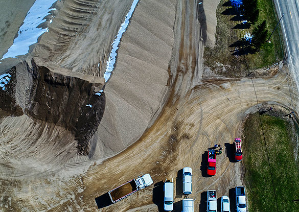
| Service Type - Mines Volumetric Drone Survey
Service Location - PAN India
Service Mode - Offline | Services Include - 3D and 2D Mapping
Usage/Application - AutoCAD
Type Of Services - Visual
Surveying Method - By Drone
Service Type - Aerial Drone Mapping Survey
Service Location - PAN India
Service Mode - Offline | Area / Size - Any
Start Date / Month - Any
Certification Need - yes
Service Location - All Over India
Service Mode - Any
Service Duration - 1-12 Months | Site Location - All Over India
Area / Size - Any
Start Date / Month - Any
Is It Mobile Access - Mobile Access | Service Type - Survey Mapping
Service Location - PAN India
Service Mode - Offline |
