Description
Location/City – Pan India
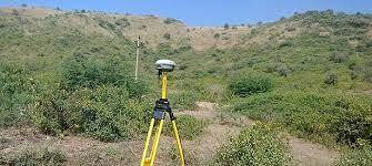
Type Of Technology – Using by drone
Service Type – 3d Model Generation By Drone Data
Service Mode – On site

3D scanning is the process of analyzing a real-world object or environment to collect data on its shape and possibly its appearance (e.g. color). The collected data can then be used to construct digital 3D models.
A 3D scanner can be based on many different technologies, each with its own limitations, advantages and costs. Many limitations in the kind of objects that can be digitised are still present. For example, optical technology may encounter many difficulties with dark, shiny, reflective or transparent objects. For example, industrial computed tomography scanning, structured-light 3D scanners, LiDAR and Time Of Flight 3D Scanners can be used to construct digital 3D models, without destructive testing.


Location/City – Pan India
Type Of Technology – Using by drone
Service Type – 3d Model Generation By Drone Data
Service Mode – On site
| Settings | 3D Modeling Survey remove | Land Survey remove | GIS Mapping Drone Survey Service remove | GIS Survey Service remove | 3D Mapping Drone Service remove | Quantity Surveying Services remove |
|---|---|---|---|---|---|---|
| Image |  |  | 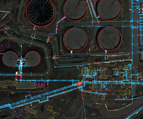 |  |  |  |
| SKU | ||||||
| Rating | ||||||
| Price | ||||||
| Stock | ||||||
| Availability | ||||||
| Add to cart | ||||||
| Description | 3D scanning is the process of analyzing a real-world object or environment to collect data on its shape and possibly its appearance (e.g. color). The collected data can then be used to construct digital 3D models. A 3D scanner can be based on many different technologies, each with its own limitations, advantages and costs. Many limitations in the kind of objects that can be digitised are still present. For example, optical technology may encounter many difficulties with dark, shiny, reflective or transparent objects. For example, industrial computed tomography scanning, structured-light 3D scanners, LiDAR and Time Of Flight 3D Scanners can be used to construct digital 3D models, without destructive testing. |
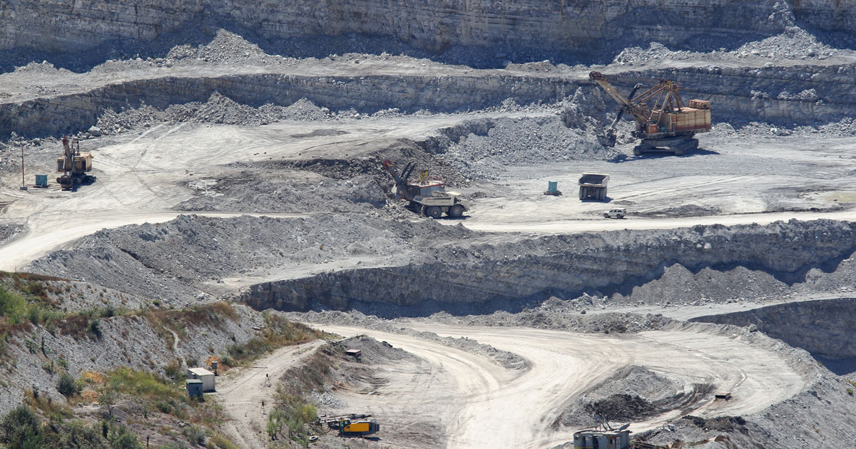
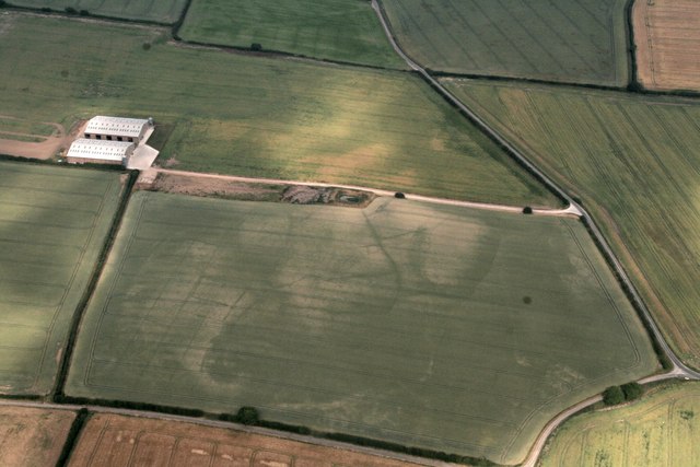
| In order to grab the higher position of the industry, we offer a wide range of GIS Mapping Service. The provided service is rendered using advanced technology. Owing to its flawless execution, and perfect work, this mapping service is valued by our honored clients. | Surveying India provides an effective drone mapping system to capture and process photogrammetric data for mining, construction, agriculture and infrastructure projects using the most advance drone in India. Our design software ensures a cost efficient and time saving solution for rapidly mapping and changes in mining, construction, agriculture and infrastructure applications. | We are one of the foremost firms of 3D Mapping Service. These services are enormously well-liked in the market for their nominal rates and consistency. | |
| Content | Location/City - Pan India Type Of Technology - Using by drone Service Type - 3d Model Generation By Drone Data Service Mode - On site | Survey Type - GIS Mapping Survey Scope Of Survey - All Services Include - 3D and 2D Mapping Usage/Application - AutoCAD Type Of Services - Visual Surveying Method - By Drone Service Mode - Offline | Area / Size - Any Start Date / Month - Any Certification Need - yes Service Location - All Over India Service Mode - Any Service Duration - 1-12 Months | Scope Of Survey - All Usage/Application - AutoCAD Type Of Services - Visual Surveying Method - By Drone Service Location - PAN India Service Mode - Offline Service Type - 3D Mapping Drone | Usage/Application - Volume of the commodity Mode Of Report - Hard Copy | |
| Weight | ||||||
| Dimensions | N/A | N/A | N/A | N/A | N/A | N/A |
| Additional information |