")
Availability: In Stock
Drone Mapping
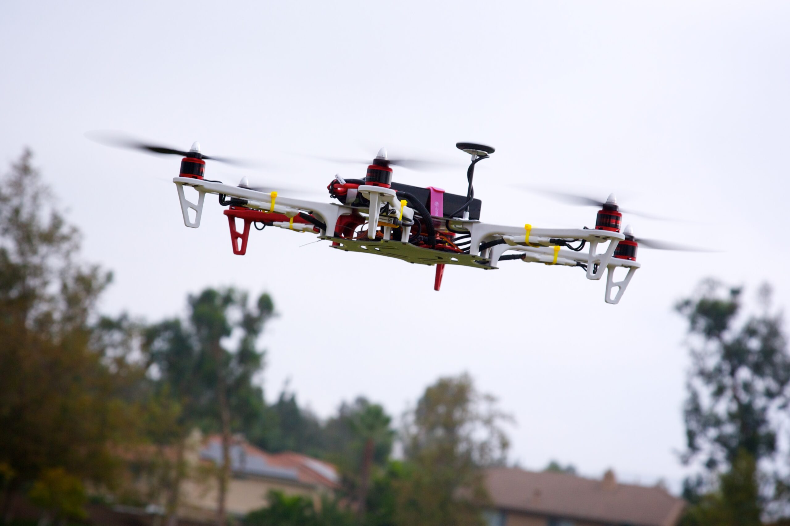
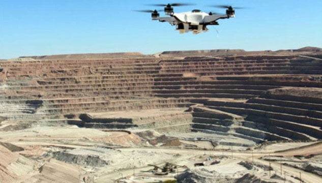
We provides Drone/Unmanned Aerial Vehicle (UAV) services to both industry and government, covering a wide and varied range of tasks such as UAV inspection and survey, crisis management, radio tower, telecommunications links, industrial building, quarry, wind turbine, chimney, manufacturing works, bridge, rock face or other piece of infrastructure, and also deploy rapid reaction response teams to deal with emergencies and capable to reach places that are difficult, expensive, dangerous, ‘live’ or even impossible to approach by manned inspection teams.

SURVEYING INDIA

Quick Comparison
| Settings | Drone Mapping remove | Aerial Drone Mapping Survey Service remove | Aerial Drone Survey Service remove | Aerial Survey Service remove | Geological Drone Survey remove | Bridge Survey Service remove |
|---|---|---|---|---|---|---|
| Image |  | 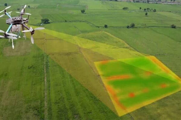 |  |  | 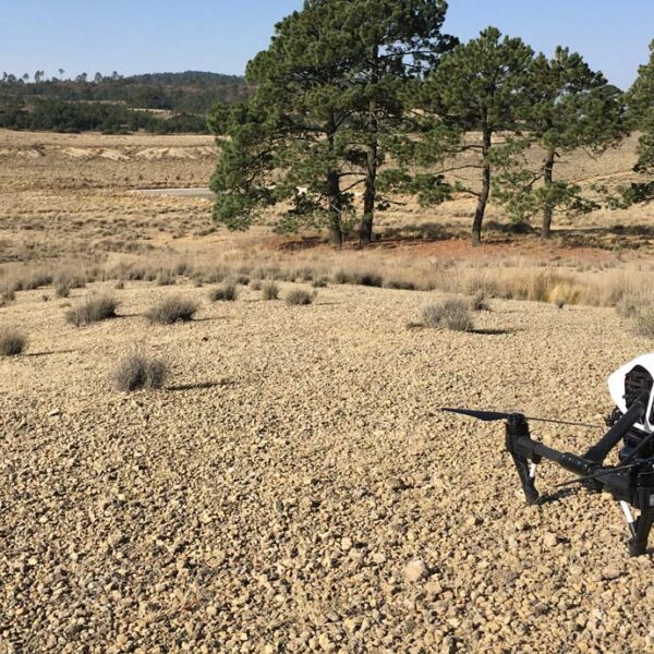 | 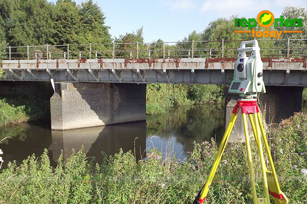 |
| SKU | ||||||
| Rating | ||||||
| Price | ||||||
| Stock | ||||||
| Availability | ||||||
| Add to cart | ||||||
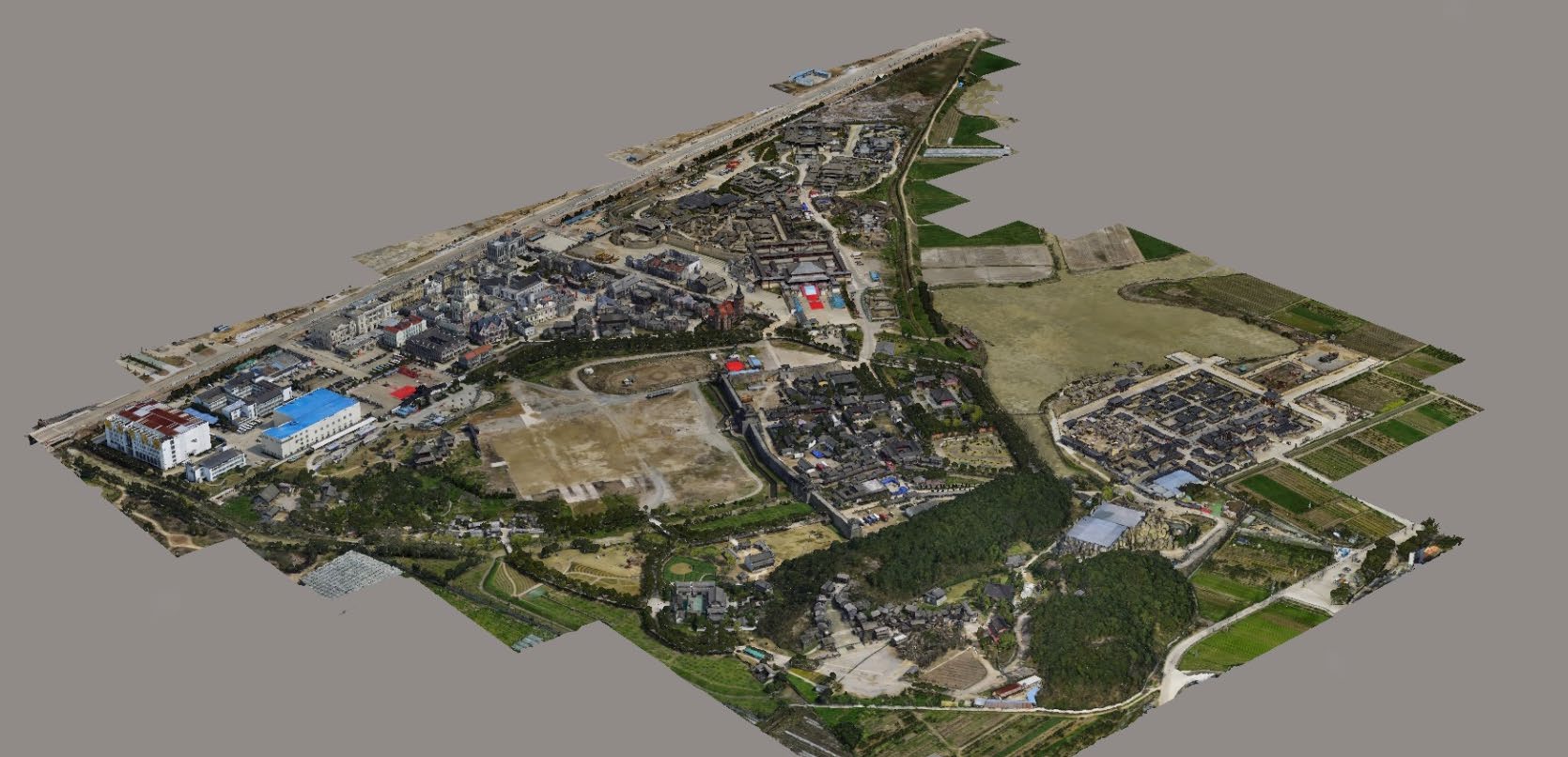
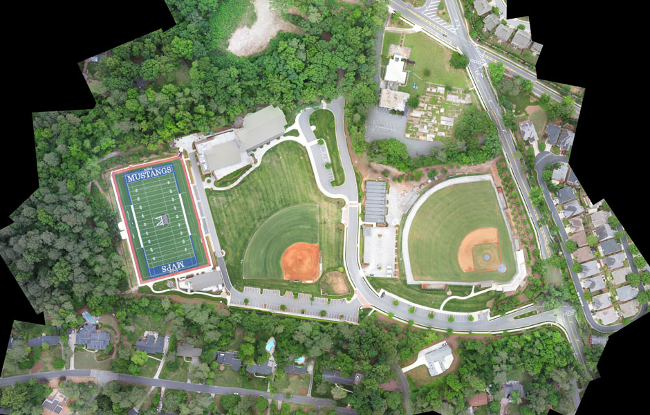
| Description | We provides Drone/Unmanned Aerial Vehicle (UAV) services to both industry and government, covering a wide and varied range of tasks such as UAV inspection and survey, crisis management, radio tower, telecommunications links, industrial building, quarry, wind turbine, chimney, manufacturing works, bridge, rock face or other piece of infrastructure, and also deploy rapid reaction response teams to deal with emergencies and capable to reach places that are difficult, expensive, dangerous, ‘live’ or even impossible to approach by manned inspection teams. | We strives to provide visible Aerial Drone Surveying/Mapping administrations all through India. With precise knowledge of the relevant field, we are instrumental in offering a comprehensive range of Aerial Mapping Service. We work for DJI Aerial Mapping Service as per the clients need. Also, offered services are famous for high flexibility, and quality assured. | Backed by years of experience in this domain, we have been able to offer the finest collection of Aerial Drone Survey. These services are admired for quality assurance and client focus approach. Apartfrom this, our team members remain in close contact with patrons to determine their requirements and render these survey services accordingly. | Technological advances in both video camera equipment and RC (remote control) equipment allow Surveying India to capture cinema quality, full motion imagery. Using state or the art equipment we are able to go where zip lines, cables, camera booms are not, still retaining the integrity of the shot by capturing complicated and challenging footage. Conversely, to previous methods of filmmaking, our set-up and take-down time is quick and efficient. All our projects were met with a great satisfaction among our customers. | Our organization is offering a large array of Geological Surveying Services to our valued clients. Rendered as per client need, these are used in various fields. In addition to this, the offered array of interior designing services is rendered using the latest technology and top-grade materials within a limited period. | |
| Content | Services Include - 3D and 2D Mapping Usage/Application - AutoCAD Type Of Services - Visual Surveying Method - By Drone Service Type - Aerial Drone Mapping Survey Service Location - PAN India Service Mode - Offline | Modes - Drone Type - Automapper Site Location - All Over India Area / Size - Any Start Date / Month - As per Client Service Duration - 1-12 Months | Aerial Survey Service in IndiaModes - All Site Location - All Over India Area / Size - Any Start Date / Month - Any Service Duration - 1-12 Months | Services Include - 3D and 2D Mapping Usage/Application - AutoCAD Type Of Services - Visual Surveying Method - By Drone Service Type - Geological Drone Survey Service Location - PAN India Service Mode - Offline | ||
| Weight | ||||||
| Dimensions | N/A | N/A | N/A | N/A | N/A | N/A |
| Additional information |