Description
Flight Time – 8 Mins
Pixel – 720
Camera Range – 15 to 20 m
Camera Technology – Digital Camera
Battery Backup – 8 Mins
Weight – 200 gms
Frequency Ranges – 50 mtrs

₹11,000.00
This little drone sports an HD camera, intelligent flight modes, image stabilization, and a handful of sensors for stable flight. What it doesn’t have is a high price tag this small drone is worth every penny.


Flight Time – 8 Mins
Pixel – 720
Camera Range – 15 to 20 m
Camera Technology – Digital Camera
Battery Backup – 8 Mins
Weight – 200 gms
Frequency Ranges – 50 mtrs
| Settings | DJI Tello Drone Stand Alone Kit remove | Agriculture 10L Capacity Pesticides Spraying Drone With Foldable Legs remove | Dji Spark Controller Combo remove | Ideaforge Q Series Drone remove | DJI Inspire1 Drone With X3 Camera remove | Dji Mavic Air 2 Drone Camera remove |
|---|---|---|---|---|---|---|
| Image | |  | 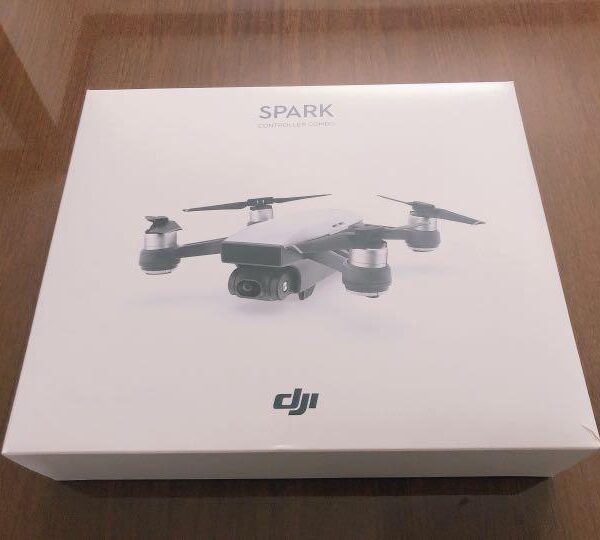 | 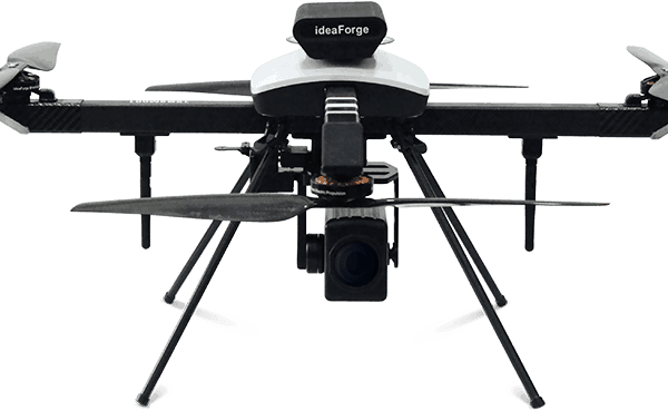 | 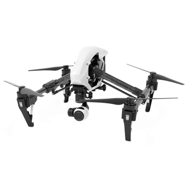 | 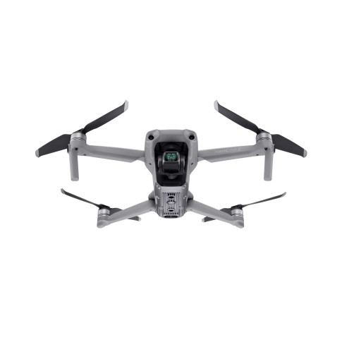 |
| SKU | ||||||
| Rating | ||||||
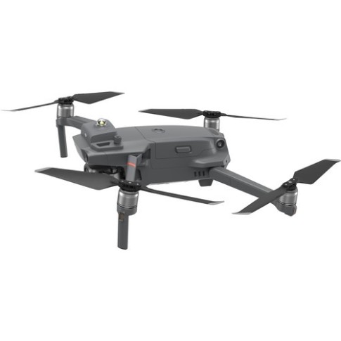
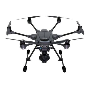
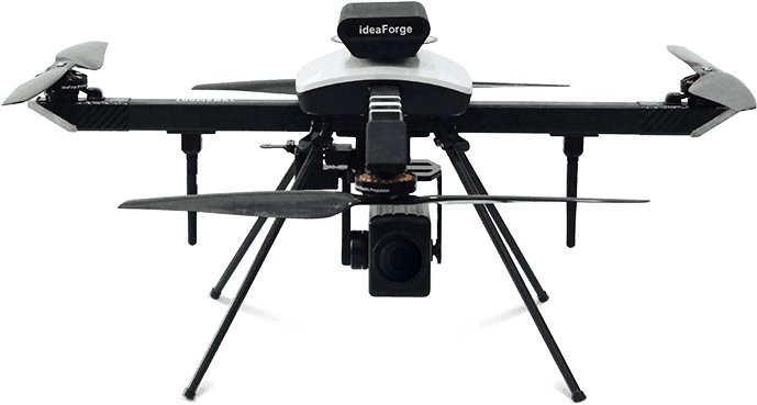
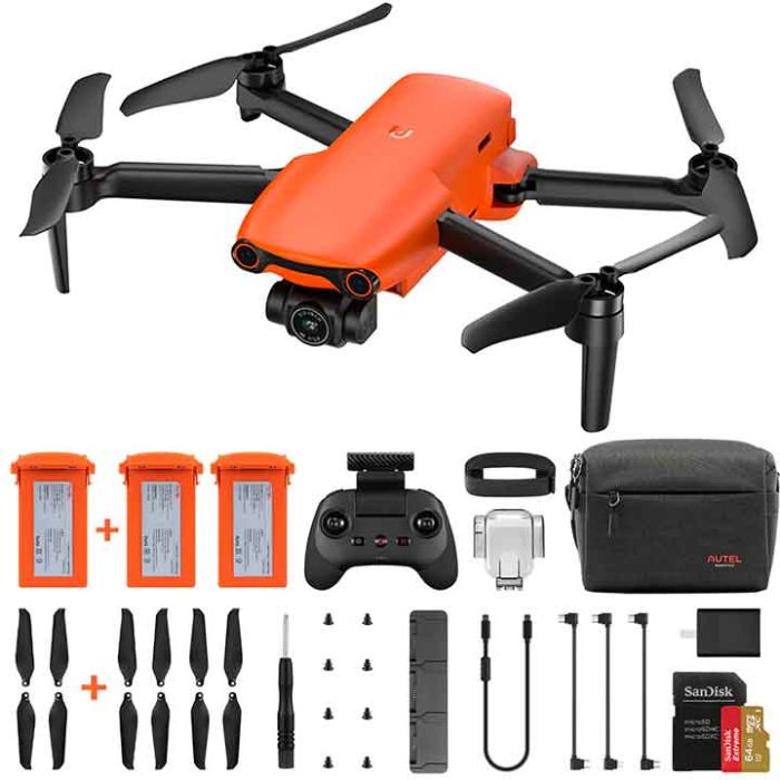
| Price | ₹11,000.00 | ₹360,000.00 | ₹34,000.00 | ₹1,050,000.00 | ₹170,000.00 | ₹96,000.00 |
| Stock | ||||||
| Availability | ||||||
| Add to cart | ||||||
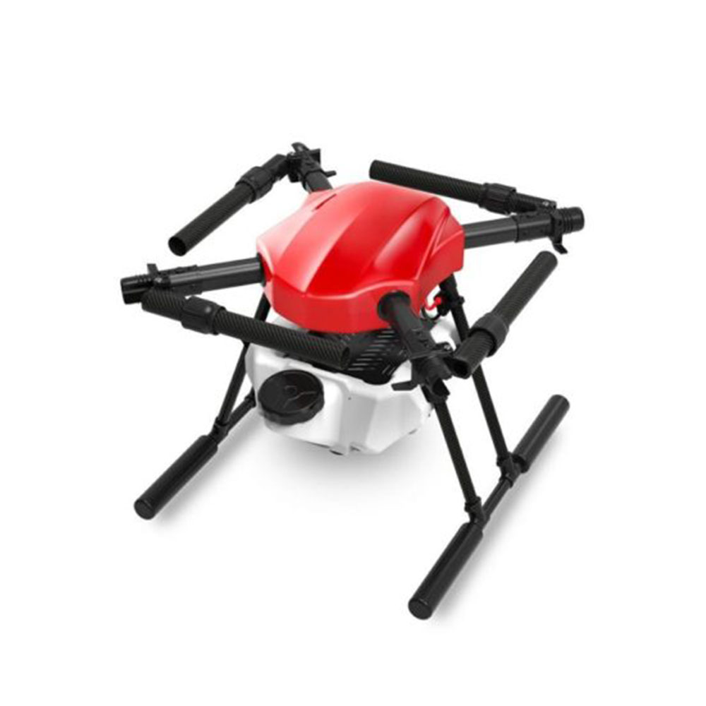
| Description | This little drone sports an HD camera, intelligent flight modes, image stabilization, and a handful of sensors for stable flight. What it doesn't have is a high price tag this small drone is worth every penny. | Help to optimize agriculture operations, increase crop production, and monitor crop growth. Sensors and digital imaging capabilities can give farmers a richer picture of their fields. | Camera Resolution - 12 MP Video Resolution - 1080p Battery Backup - 16 minutes Sensor Type - Infrared sensor Weight - 300g Dimensions - 143×143×55 mm Max Flight Time - 16 minutes (no wind at a consistent 12.4 mph (20 kph)) Satellite Positioning Systems - GPS/GLONASS Battery capacity - 1480 mAh | Q Series is ideaForge’s smallest short range VTOL Unmanned Aerial Vehicle (UAV) based on our best-in-class drone technology. It is ideaForge’s most economical and efficient drone built with tried-and-tested military design philosophies. Q Series UAV can ideally be used for Surveying, Mapping, Security & Surveillance, Inspection, Photogrammetry, Traffic Management, Crowd Management & Disaster Relief. |
| Camera Resolution - 48 Flight Time - 34 minutes Battery Backup - 34 minutes Sensor Type - Vision sensor Operating Temperature Range - -10 degree to 40 degree C |
| Content | Flight Time - 8 Mins Pixel - 720 Camera Range - 15 to 20 m Camera Technology - Digital Camera Battery Backup - 8 Mins Weight - 200 gms Frequency Ranges - 50 mtrs | Capacity - 16000 MAH Material - Carbon Fiber Camera Technology - Digital Camera Battery Backup - As Per Buyer's requirements Frequency Ranges - 2.400 -2.483 GHz Obstacle Sensing - 2 - 98 Feet Aircraft Weight - 3kg Packaging Type - Box Flying Range - 1-2km Power Source - Battery | Pixel - 24 MP Weight - <3.5kg Material - Carbon Fiber Model Name/Number - Q4i Max Launch Altitude - 3000m Photogrammetry Payload - 24 MP Surveillance Payload - 1280 x 720 pixels,10x Optical Zoom Thermal Payload - 320 x 240 pixels,640 x 480 pixels (Optional) Radiometric Thermal Payload - 640 x 480 pixels (Radiometric) |
| Aircraft Weight 570 g Size Folded: 180×97×74 mm (Length×Width×Height) Unfolded: 183×253×77 mm (Length×Width×Height) Diagonal Distance 302 mm Max Ascent Speed 4 m/s (S Mode) 4 m/s (N Mode) Max Descent Speed 3 m/s (S Mode) 3 m/s (N Mode) 5 m/s (S Mode during a sharp descent) 3 m/s (all modes at elevations over 4500 m) Max Service Ceiling Above Sea Level 5000 m Max Flight Time (without wind) 34 minutes Max Hover Time (without wind) 33 minutes Max Flight Distance 18.5 km Max Horizontal Flight Speed 19 m/s (S Mode) 12 m/s (N Mode) 5 m/s (T Mode) | |
| Weight | ||||||
| Dimensions | N/A | N/A | N/A | N/A | N/A | N/A |
| Additional information |