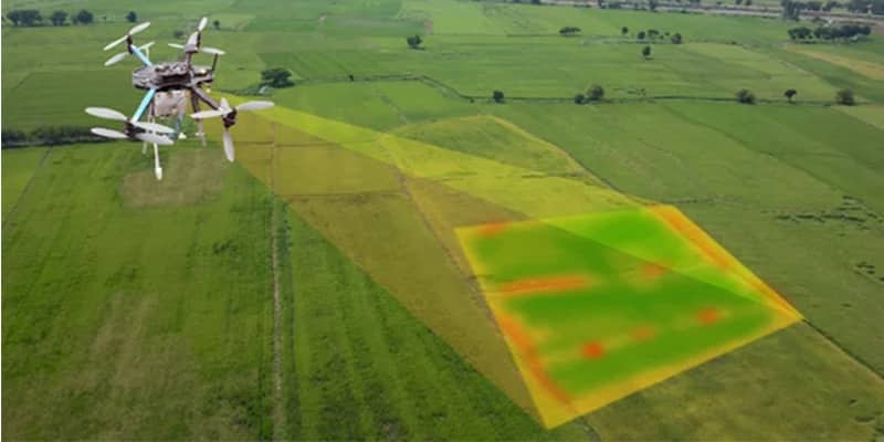
Description
Service Mode – Onsite
Service Location – PAN India
Service Type – Digital Mapping Services
Type of Technology – Using By Drone

Digital mapping (also called digital cartography) is the process by which a collection of data is compiled and formatted into a virtual image. The primary function of this technology is to produce maps that give accurate representations of a particular area, detailing major road arteries and other points of interest. The technology also allows the calculation of distances from one place to another.
Although digital mapping can be found in a variety of computer applications the main use of these maps is with the Global Positioning System, or GPS satellite network, used in standard automotive navigation systems.


Service Mode – Onsite
Service Location – PAN India
Service Type – Digital Mapping Services
Type of Technology – Using By Drone
| Settings | Digital Mapping Services remove | Aerial Mapping Service remove | Mines Volumetric Drone Survey Service remove | Drone Mine Topographic Survey Services remove | 3D Mapping Drone Service remove | Aerial Survey Service remove |
|---|---|---|---|---|---|---|
| Image |  |  | 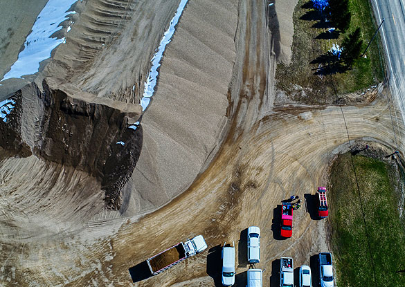 | 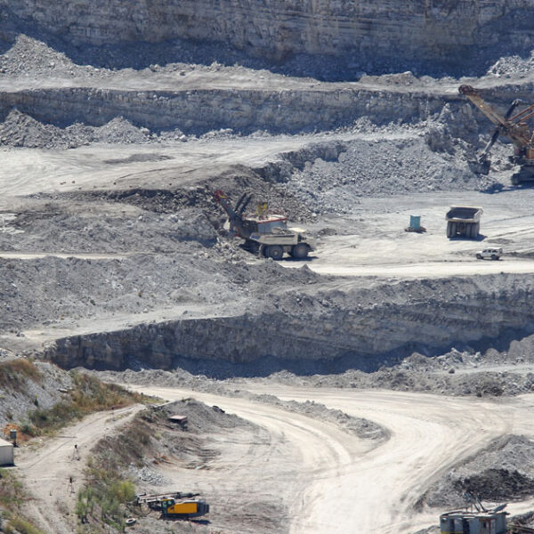 |  |  |
| SKU | ||||||
| Rating | ||||||
| Price | ||||||
| Stock | ||||||
| Availability | ||||||
| Add to cart | ||||||
| Description | Digital mapping (also called digital cartography) is the process by which a collection of data is compiled and formatted into a virtual image. The primary function of this technology is to produce maps that give accurate representations of a particular area, detailing major road arteries and other points of interest. The technology also allows the calculation of distances from one place to another. Although digital mapping can be found in a variety of computer applications the main use of these maps is with the Global Positioning System, or GPS satellite network, used in standard automotive navigation systems. | Through regular improvement, we are offering an exclusive collection of Aerial Mapping Service. Our highly skilledprofessionals render this offered mapping service on well-defined parameters. Offered array of mapping services is rendered using best grade inputs.
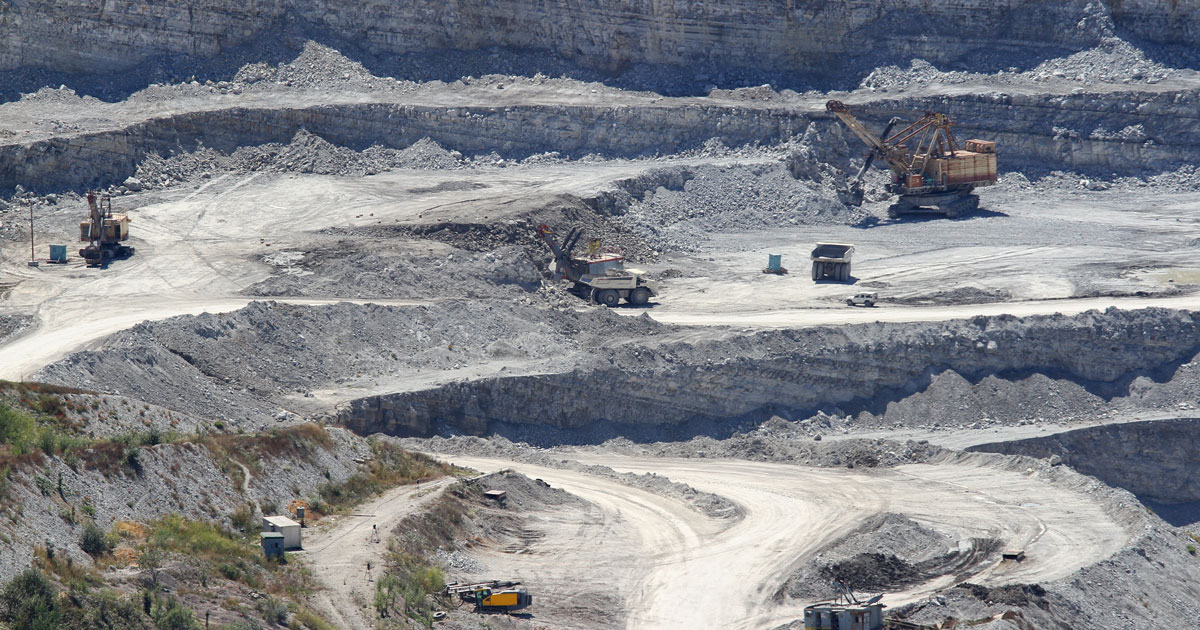
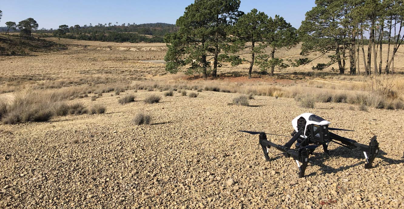
| Backed by our skilled professionals, we are involved in providing Volumetric Survey Service. | We at Pixroot Technologies Private Limited specialized in providing high-quality Drone Survey Services. We are Kolkata's one of the best Drone Survey Company & India's one of the fastest growing "Drone Survey" companies providing high accuracy using the latest technology. We've consistently been recognized for our on-time results delivery and quality services. In mining we are executing the work as per new rules of IBM/MCDR updated new rule guidelines. | We are one of the foremost firms of 3D Mapping Service. These services are enormously well-liked in the market for their nominal rates and consistency. | Technological advances in both video camera equipment and RC (remote control) equipment allow Surveying India to capture cinema quality, full motion imagery. Using state or the art equipment we are able to go where zip lines, cables, camera booms are not, still retaining the integrity of the shot by capturing complicated and challenging footage. Conversely, to previous methods of filmmaking, our set-up and take-down time is quick and efficient. All our projects were met with a great satisfaction among our customers. |
| Content | Service Mode - Onsite Service Location - PAN India Service Type - Digital Mapping Services Type of Technology - Using By Drone | Site Location - All Over India Area / Size - Any Start Date / Month - Any Is It Mobile Access - Mobile Access | Service Type - Mines Volumetric Drone Survey Service Location - PAN India Service Mode - Offline | Survey Type - 2D and 3D Mapping Usage/Application - AutoCAD and Global Mapper Surveying Location - Mines Service Mode - Offline Measurement Type - Acre Surveying Method - By Drone Service Type - Drone Mine Survey Service Location - PAN India | Scope Of Survey - All Usage/Application - AutoCAD Type Of Services - Visual Surveying Method - By Drone Service Location - PAN India Service Mode - Offline Service Type - 3D Mapping Drone | Aerial Survey Service in IndiaModes - All Site Location - All Over India Area / Size - Any Start Date / Month - Any Service Duration - 1-12 Months |
| Weight | ||||||
| Dimensions | N/A | N/A | N/A | N/A | N/A | N/A |
| Additional information |