Description
Site Location – Pan India
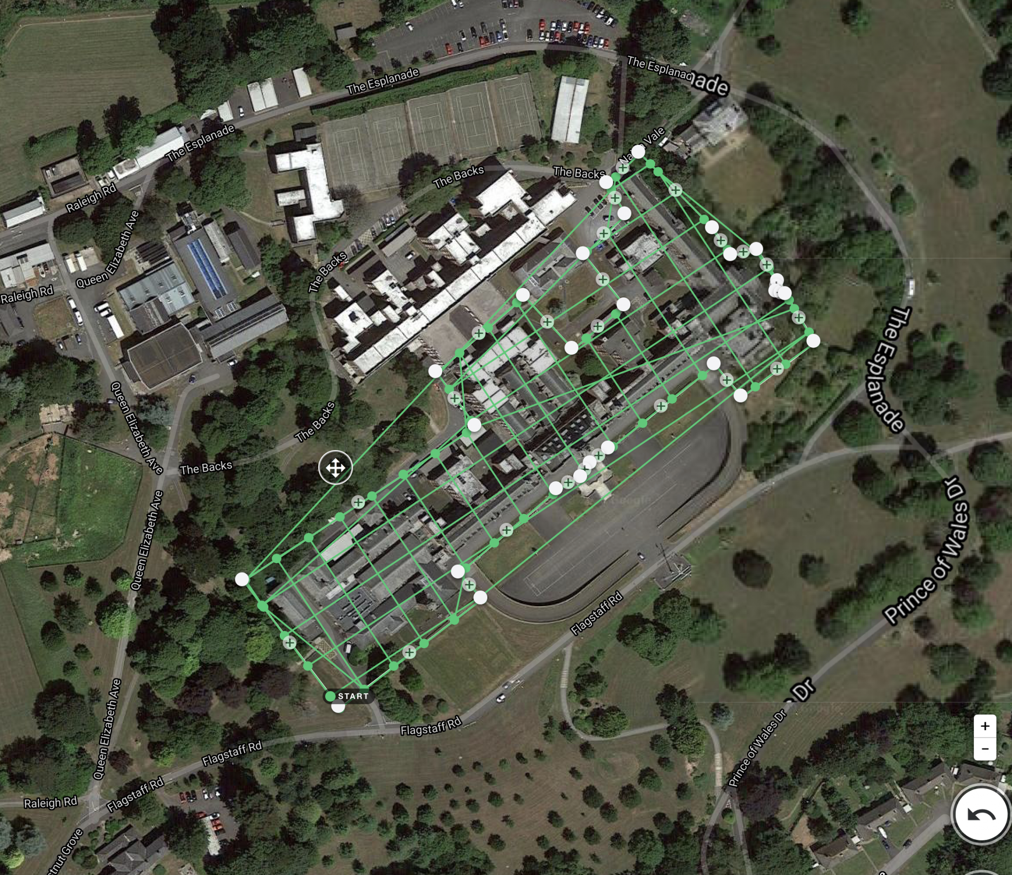
Service Type – Topography Survey

Total station surveys are a widely used method to survey topography. With applications ranging from traditional land surveying. Land form evolution monitoring. To land use monitoring. In the geosciences and bio- logical sciences, total stations are now becoming standard tools in monitoring geomorphic change detection of rivers. Streams. Beaches. And mass wasting of hill slopes. Since many total station surveys are now undertaken in remote and/or undeveloped localities, there is often not an established local control network tied to a projected real world coordinate system. Thus, many of these surveys are done from a un- projected local assumed coordinate system.
However, as GIS has become more of an everyday tool for visualization, modeling and analysis of topographic data. There is an increasing demand for such surveys. World coordinate system. Transforming total station surveys from unprojected local assumed coordinate system to real world coordinates makes the power of overlaying those data with other datasets (e.g., aerial imagery, vector datasets of roads, political boundaries, etc.) and certain analyses possible.
There are various built-in and add-in tools to perform transformations through GIS programs. This paper studies the effect of using Georeferencing tool, Spatial Adjustment tool (Affine and similarity) and Champ tool on the precision and relative accuracy of total station survey. This transformation requires real- world co-ordinates of at least two control points, which can be collected from different sources. This paper also studies the effect of using geodetic GPS, hand-held GPS, Google Earth (GE) and Bing maps as sources for control points on the precision and Base relative accuracy of total station survey.


Site Location – Pan India
Service Type – Topography Survey
| Settings | DGPS & Total Station Survey Service remove | Drone Mine Topographic Survey Services remove | DGPS Survey Services remove | Aerial Contours remove | Mines Volumetric Drone Survey Service remove | 3D Mining Drone Mapping Service remove |
|---|---|---|---|---|---|---|
| Image | | 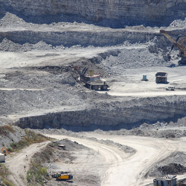 | 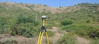 |  | 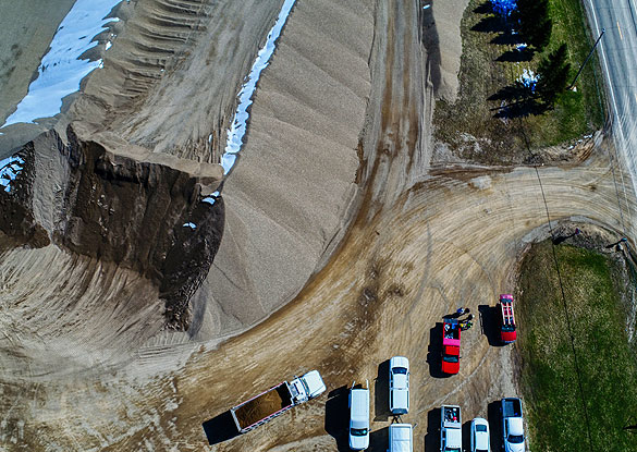 |  |
| SKU | ||||||
| Rating | ||||||
| Price | ||||||
| Stock | ||||||
| Availability | ||||||
| Add to cart | ||||||
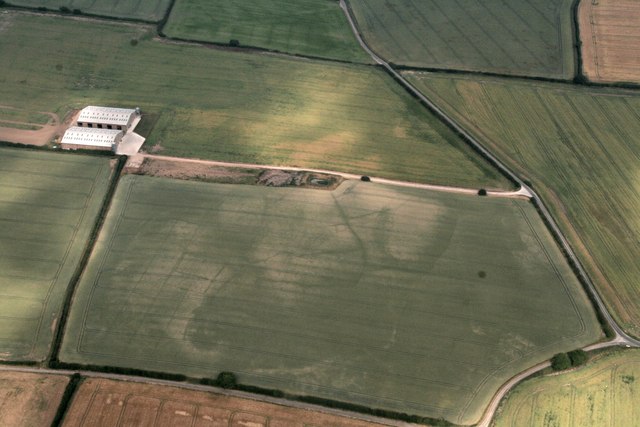
| Description | Total station surveys are a widely used method to survey topography. With applications ranging from traditional land surveying. Land form evolution monitoring. To land use monitoring. In the geosciences and bio- logical sciences, total stations are now becoming standard tools in monitoring geomorphic change detection of rivers. Streams. Beaches. And mass wasting of hill slopes. Since many total station surveys are now undertaken in remote and/or undeveloped localities, there is often not an established local control network tied to a projected real world coordinate system. Thus, many of these surveys are done from a un- projected local assumed coordinate system. However, as GIS has become more of an everyday tool for visualization, modeling and analysis of topographic data. There is an increasing demand for such surveys. World coordinate system. Transforming total station surveys from unprojected local assumed coordinate system to real world coordinates makes the power of overlaying those data with other datasets (e.g., aerial imagery, vector datasets of roads, political boundaries, etc.) and certain analyses possible. There are various built-in and add-in tools to perform transformations through GIS programs. This paper studies the effect of using Georeferencing tool, Spatial Adjustment tool (Affine and similarity) and Champ tool on the precision and relative accuracy of total station survey. This transformation requires real- world co-ordinates of at least two control points, which can be collected from different sources. This paper also studies the effect of using geodetic GPS, hand-held GPS, Google Earth (GE) and Bing maps as sources for control points on the precision and Base relative accuracy of total station survey. | We at Pixroot Technologies Private Limited specialized in providing high-quality Drone Survey Services. We are Kolkata's one of the best Drone Survey Company & India's one of the fastest growing "Drone Survey" companies providing high accuracy using the latest technology. We've consistently been recognized for our on-time results delivery and quality services. In mining we are executing the work as per new rules of IBM/MCDR updated new rule guidelines. | Supported by highly accomplished crew of employees, we are rendering DGPS Survey Service. These provided services are delivered under the stern supervision of adroit personnel as per set industry principles. In addition to this, these provided services are attributed amid our client for reliability and cost effectiveness. | Surveying India specializes in Aerial Contours. Contour lines are generated by connecting all the points of similar elevation together. These lines are drawn on a plan of a particular terrain to understand the nature of surface, identify cut fill volume, study water flow characteristics, estimate valley depth and steepness. Contour lines form a smooth curve of same elevation points. Contour lines are also called as isohypse, isoline, isopleth, or isarithm. | Backed by our skilled professionals, we are involved in providing Volumetric Survey Service. | 3D Mining Drone Mapping Service. |
| Content | Site Location - Pan India Service Type - Topography Survey | Survey Type - 2D and 3D Mapping Usage/Application - AutoCAD and Global Mapper Surveying Location - Mines Service Mode - Offline Measurement Type - Acre Surveying Method - By Drone Service Type - Drone Mine Survey Service Location - PAN India | Site Location - PAN India Mode Of Report - Excel Service Type - DGPS Survey Service Mode - Offline | Type - Site Service Mode - Offline | Service Type - Mines Volumetric Drone Survey Service Location - PAN India Service Mode - Offline | Usage/Application - AutoCAD and Global Mapper Surveying Method - By Drone Service Location - PAN India Service Mode - Offline |
| Weight | ||||||
| Dimensions | N/A | N/A | N/A | N/A | N/A | N/A |
| Additional information |