Description
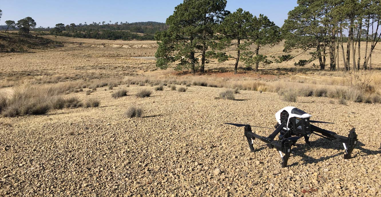
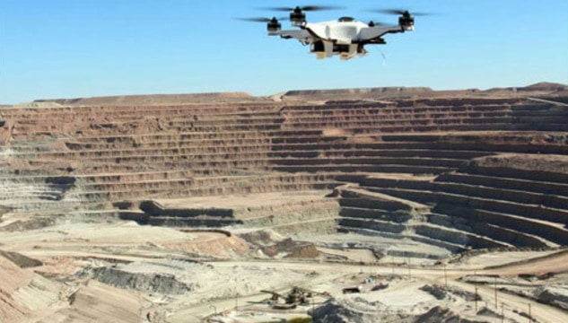
Survey Type – Geo Physical Survey, Hydrological Survey
Site Location – Pan India
Type of Technology – Using By Drone
Service Mode – On Site

Geological surveying employs techniques from the traditional walk-over survey, studying outcrops and landforms, to intrusive methods, such as hand augering and machine-driven boreholes, to the use of geophysical techniques and remote sensing methods, such as aerial photography and satellite imagery.


Survey Type – Geo Physical Survey, Hydrological Survey
Site Location – Pan India
Type of Technology – Using By Drone
Service Mode – On Site
| Settings | Geological Surveying Services remove | Aerial Contours remove | Quantity Surveying Services remove | Land Survey remove | Aerial Drone Survey Service remove | Acre 3d And 2d Mapping remove |
|---|---|---|---|---|---|---|
| Image | 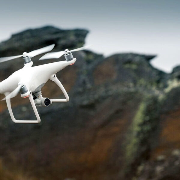 |  |  | 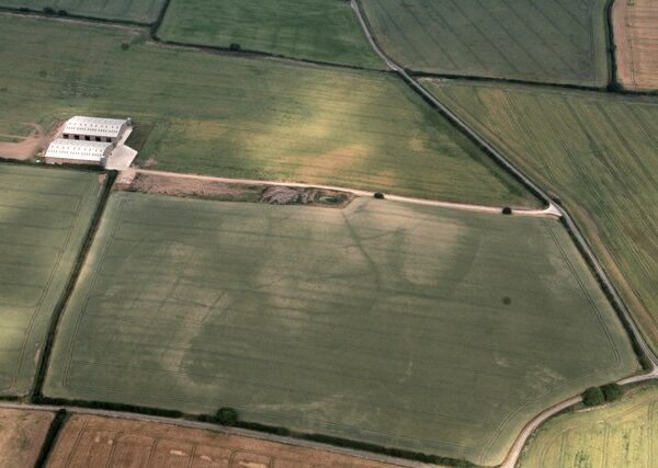 | 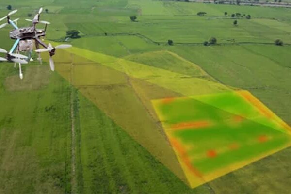 |  |
| SKU | ||||||
| Rating | ||||||
| Price | ||||||
| Stock | ||||||
| Availability | ||||||
| Add to cart | ||||||
| Description | Geological surveying employs techniques from the traditional walk-over survey, studying outcrops and landforms, to intrusive methods, such as hand augering and machine-driven boreholes, to the use of geophysical techniques and remote sensing methods, such as aerial photography and satellite imagery. | Surveying India specializes in Aerial Contours. Contour lines are generated by connecting all the points of similar elevation together. These lines are drawn on a plan of a particular terrain to understand the nature of surface, identify cut fill volume, study water flow characteristics, estimate valley depth and steepness. Contour lines form a smooth curve of same elevation points. Contour lines are also called as isohypse, isoline, isopleth, or isarithm. |
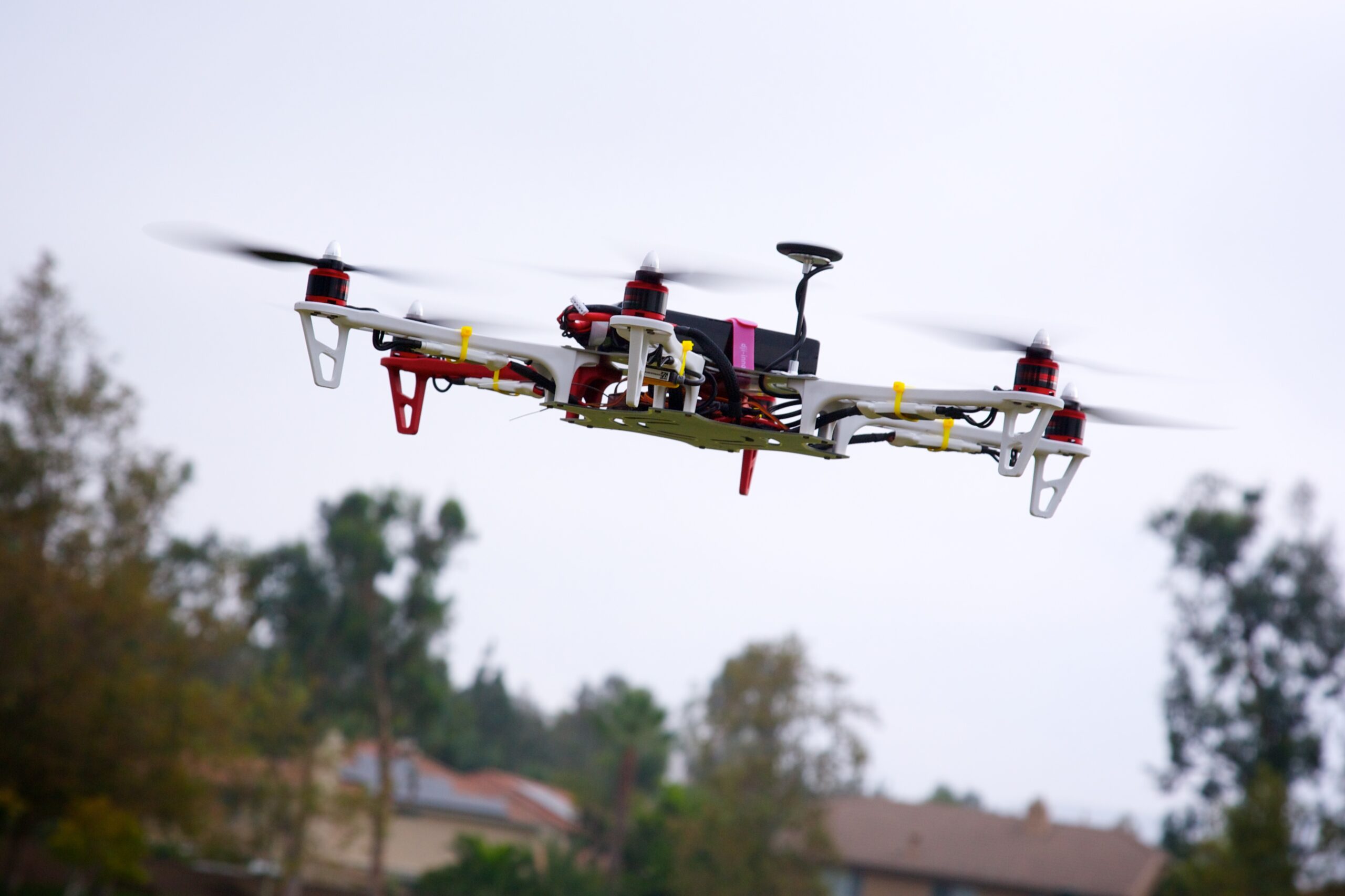
| Backed by years of experience in this domain, we have been able to offer the finest collection of Aerial Drone Survey. These services are admired for quality assurance and client focus approach. Apartfrom this, our team members remain in close contact with patrons to determine their requirements and render these survey services accordingly. | With the assistance of our enormously competent land diligent team members, we are involved in offering Drone Survey Service. These interior design work services can be offered as per client preferences. Apart from this, we are rendering these services with the help of the latest technology-based resources | |
| Content | Survey Type - Geo Physical Survey, Hydrological Survey Site Location - Pan India Type of Technology - Using By Drone Service Mode - On Site | Type - Site Service Mode - Offline | Usage/Application - Volume of the commodity Mode Of Report - Hard Copy | Modes - Drone Type - Automapper Site Location - All Over India Area / Size - Any Start Date / Month - As per Client Service Duration - 1-12 Months | With the assistance of our enormously competent land diligent team members, we are involved in offering Drone Survey Service. These interior design work services can be offered as per client preferences. Apart from this, we are rendering these services with the help of the latest technology-based resource
| |
| Weight | ||||||
| Dimensions | N/A | N/A | N/A | N/A | N/A | N/A |
| Additional information |